emergency-response
(16)
Sensa wanted your insurance to arrive before the paperwork
A doctor’s idea became an auto policy built around the first minutes after a crash. Sensa’s short American journey shows how much machinery sits behind the simple promise of help.

Infravision’s flying fix for the power grid starts on the ground
A drone gets the attention. A puller, a rope and a practiced crew do the rest. Infravision’s bet is that changing this small piece of grid construction can make a much larger machine move faster.

RapidSOS gives 911 what your phone already knows
Your phone can place you on a map. RapidSOS built a business getting that information to the person sending an ambulance.

CENTEGIX and the distance between help and here
A wearable button can summon help without sending a teacher away from a child. CENTEGIX built a safety platform around that small advantage - and the complicated work of making it reliable.

Zetron and the art of changing everything without hanging up
A control room cannot close for renovation. Zetron’s business is built around that awkward fact: connecting old radios, new networks and the people who must keep answering.

Blake Resnick and the Seventy-Second City
He began by building a machine that could enter a room too dangerous for a person. Now the BRINC founder wants to compress emergency response from minutes into seconds - and make judgment, not speed, the technology's hardest problem.

The Pipeline Company That Found Its Real Product in the First 30 Minutes
Sander Resources spent years helping energy companies explain pipelines. Then it noticed the most important information was arriving in the least useful form - and built a pocket-sized answer for the people first on scene.

The Ad Agency That Learned to Speak Emergency
From credit-card-sized biothreat guides to a one-penny airport campaign, the Lafayette firm built a business by making complicated public information usable before the clock runs out.

GoodSAM Built a Digital Shout That Travels Through Walls
A neurosurgeon and a software engineer began with one awkward fact: the right person is often nearby, but has no idea help is needed. GoodSAM turned that gap into a dispatch, video and volunteering platform used by emergency services around the world.

Peoplesafe Built a Three-Second Safety Net for the Working Day
A button is the easy part. Peoplesafe's real product is the chain of people, software and protocols behind it - built to turn a frightened employee's tap into a useful emergency response.
Critical Response Group Built the Map for the Moment Everyone Starts Shouting
CRG took a battlefield habit - one shared picture, one shared vocabulary - and carried it into American schools. The hard part was never drawing the map. It was making sure the right map appeared in the right hands when communications began to fray.

Peter Kim and the Quiet Arithmetic of Dignity
The Grande Prairie Salvation Army executive has spent a decade turning a personal second chance into practical systems of choice, listening and shared credit.

The Fire Chief Had Two Radios and Still Couldn’t See His Crew - 3AM Built the Missing Map
A volunteer firefighter saw crews tracked with magnets and radio calls. The Buffalo company he co-founded spent a decade turning that blind spot into FLORIAN - and learned why emergency technology has to fit the incident, the budget and the procurement system.
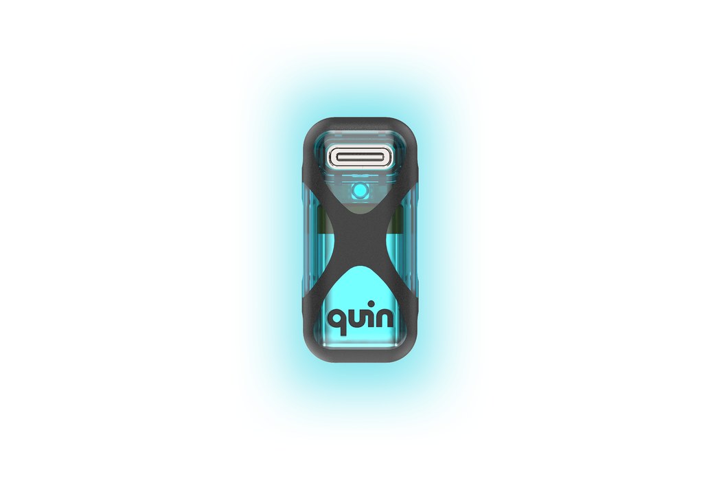
Quin
Quin (Quintessential Design) builds intelligent safety technology for helmets. Founded in 2017 by industrial designer Anirudha 'Ani' Surabhi, the company created the first motorcycle helmets with integrated crash detection and an SOS beacon, then pivoted to an 'ingredient brand' model that licenses its sensor-fusion hardware and emergency-response software to leading helmet makers. Its Quin Pod and Quin Tag devices measure motion thousands of times per second, detect dangerous impacts, and automatically alert emergency contacts and dispatch services with location and impact data across cycling, motorsport, snow sports, climbing and equestrian.
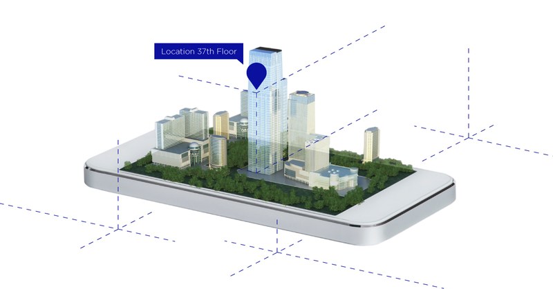
Polaris Wireless
Polaris Wireless is a Silicon Valley company that pinpoints where a mobile phone is - not just on a map, but on which floor of a building. Founded in 1999, it pioneered software-based Wireless Location Signatures (WLS) and high-accuracy 3D / z-axis location, technology used by wireless carriers and public safety agencies so that when someone dials 911 from the 30th floor, responders know which floor. With 90+ patents and 50+ deployments worldwide, Polaris turns radio noise into vertical certainty for E911, IoT, smart cities and enterprise applications.

Pano AI
Pano AI builds an integrated platform for early wildfire detection and situational awareness, combining 360-degree ultra-high-definition mountaintop cameras, satellite feeds, field sensors and AI models to spot fires within minutes of ignition. Used by fire agencies, electric utilities, governments and private landowners, Pano monitors nearly 30 million acres across the US, Canada and Australia from its San Francisco headquarters.