remote-sensing
(23)
DigitalGlobe lost two satellites. Then it sold the world a closer look.
Before it became part of Maxar, DigitalGlobe turned orbital photography into a business worth billions. Its legacy, now carried forward by Vantor, shows why the real product was never just a picture.
NM Group Sees the Power Grid the Way a Laser Does
Its aircraft collect billions of precise measurements. Its engineers turn them into a practical answer for utilities: which tree, wire or tower needs attention first?

Divirod Stopped Selling Sensors. Now It Wants to Sell the World What Water Knows
The Boulder climate-tech company learned that a clever sensor was a cramped business. Its bigger bet is an operating system for water risk - hardware, harmonized data, forecasts and alerts sold as one service.
How a Florida Archaeology Firm Became Big Energy's First Phone Call
SEARCH turned a federal compliance requirement into the largest cultural-resources firm in America - and helped find Shackleton's Endurance along the way.
AxionOrbital Space
AxionOrbital Space is a San Francisco startup building foundation models that turn radar satellite data into analysis-ready optical imagery in real time. Its flagship model, ORION, translates Synthetic Aperture Radar (SAR) backscatter into photorealistic images so customers can see through clouds, smoke, and darkness - the roughly 70% of the time when conventional optical satellites go blind. A Y Combinator Winter 2026 company, it targets defense, commodities trading, and disaster response.

Revalue
Revalue (Revalue Nature) is a London-based climate-tech company that develops high-integrity, nature-based carbon credits and builds the analytics platform behind them. Combining forest science, AI, remote sensing (satellite, drone and LiDAR), dynamic baselines and biodiversity monitoring, it partners with on-the-ground project operators and capital providers to design credits that avoid, remove and durably store CO2. Founded in 2022 and led by CEO Stuart Rowland, the company raised a $10M Series A in 2023 co-led by Ecosystem Integrity Fund and SJF Ventures.
Near Space Labs
Near Space Labs is a Brooklyn-based earth-imaging company that flies small autonomous robots called Swift into the stratosphere on helium balloons to capture 7-centimeter-resolution imagery of the ground below. Founded in 2017, it delivers frequent, analysis-ready aerial data to property and casualty insurers, governments, utilities and environmental groups at a fraction of the cost of traditional planes or satellites, positioning balloon-borne imaging as a scalable, low-emission alternative for monitoring cities, infrastructure and disasters.
SkyFi
SkyFi is an Austin, Texas-based Earth intelligence company that runs a self-service marketplace for satellite imagery and analytics. Through a single web platform, mobile app and API, customers can search archives, task satellites and buy optical, SAR, hyperspectral and aerial imagery from more than 50 commercial providers - then run built-in AI analytics on it. Founded in 2021 by Luke Fischer and Bill Perkins, SkyFi aims to make geospatial data as easy to order as a rideshare, serving defense, government, finance, energy, agriculture, insurance and infrastructure customers worldwide.
Arable
Arable is a San Francisco-based agricultural technology company that builds solar-powered, in-field IoT sensors and a cloud analytics platform to give growers real-time crop intelligence. Its flagship Arable Mark device measures more than 40 weather, plant, soil and irrigation metrics from above the crop canopy, and machine-learning models turn that data into decisions on irrigation, crop stress and yield. Deployed across roughly 19 countries, six continents and more than 20 crop types, Arable serves customers from Driscoll's and Treasury Wine Estates to Valley Irrigation.
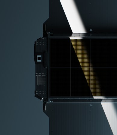
Array Labs
Array Labs designs, builds, and operates radar satellites that fly in coordinated clusters to image the same place on Earth from many angles at once. By distributing the radar across many small, mass-manufacturable satellites instead of one large bespoke spacecraft, the company aims to produce continuously refreshed, high-resolution 3D maps of the planet - a form of space-based radar it likens to what SpaceX did for launch. Founded in 2021 and based in Redwood City, California, Array Labs raised a $20M Series A in January 2026 to scale radar manufacturing and prepare to launch the world's first formation-flying radar satellite cluster.

GeoX
GeoX is an Israeli-founded geospatial AI company that turns aerial imagery, satellite data and ground-level images into detailed 3D models of individual buildings. Insurers, reinsurers, banks and public agencies use its property database - covering roughly 160 million US properties and expanding across Europe, Japan and Australia - to assess roof condition, elevation and exposure to fires, floods and storms without sending anyone into the field. The company raised a $19M Series A in 2024 (led by Flashpoint), bringing total funding to $23M.

SpaceKnow Inc.
SpaceKnow is a geospatial intelligence company that turns satellite imagery into near-real-time answers about the physical world. Its AI-powered platform, SpaceKnow Guardian, fuses optical and radar data from many satellite providers and applies proprietary machine-learning algorithms to detect objects, track change, and generate economic indices for defense, finance, construction, and environmental customers. Founded in 2013 by Pavel Machalek and Jerry Javornicky, the company is best known for economic nowcasting products like its China Satellite Manufacturing Index, which has appeared on Bloomberg Terminals.

Renoster
Renoster is an Austin-based climate technology company that brought scientific rigor and radical transparency to the carbon markets. It began as an independent ratings agency - using LiDAR, satellite imagery, and AI to publicly review more than 200 nature-based carbon projects and over 500 million credits through its Mercury platform. Convinced that most existing credits fell short, the company pivoted from grading the market to fixing it, launching Apollo, an improved forest management program that helps small landowners in Maine store more carbon and generate high-integrity forest carbon credits.

Atlas AI
Atlas AI is a Palo Alto-based Public Benefit Corporation building GeoAI software that turns planetary-scale satellite imagery, ground-truth surveys, and predictive models into decision-support tools for enterprises, governments, and development institutions investing in emerging markets.

Matter Intelligence
Matter Intelligence is a remote sensing and AI company building the world's first sub-meter hyperspectral and thermal satellite sensors paired with a foundational 'Large World Model' that lets machines understand the physical world at a molecular level. Founded by former NASA JPL engineers, the El Segundo startup emerged from stealth in October 2024 with $12M in seed funding to deploy sensors across satellites, drones, and aircraft for agriculture, defense, energy, and environmental monitoring.
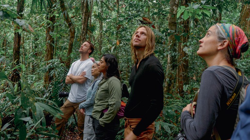
Earthshot Labs
Earthshot Labs is a public-benefit climate-tech company building the technology and financing rails for nature-based carbon projects at planetary scale. Its LandOS platform guides land stewards step-by-step through carbon project development, while its Biome mobile app uses computer vision and AR to collect field measurements. Backed by a community of 700+ data scientists, Earthshot has helped develop dozens of reforestation, conservation, agroforestry, and improved-forest-management projects worldwide and channeled tens of millions of dollars into ecosystem restoration.
NCX
NCX (Natural Capital Exchange) is a U.S.-based data-driven marketplace that pays forest landowners of all sizes for the natural capital their land provides - starting with forest carbon. Born out of the forestry analytics company SilviaTerra, NCX uses satellites, cloud computing, and machine learning to measure every acre of America's forests, then connects landowners who defer timber harvests with corporations seeking high-quality carbon credits. The company has enrolled thousands of landowners across dozens of states and raised $74.4M to expand natural capital markets.

Varaha
Varaha is an India-based climate-tech company that builds high-integrity carbon removal projects in the Global South. Working with roughly 170,000 smallholder farmers across about 1.7 million acres, it generates verified carbon credits through four pathways - regenerative agriculture, agroforestry, biochar, and enhanced rock weathering - and quantifies the results with a measurement, reporting and verification (MRV) platform powered by remote sensing, machine learning and field science. Its credits are bought by buyers like Google, Microsoft, Lufthansa and Swiss Re.
Aerobotics
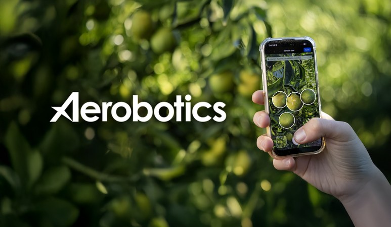
Aerobotics is a Cape Town-founded agritech company that turns aerial and smartphone imagery into tree-level intelligence for fruit and nut growers. Using drones, satellites and machine-learning algorithms feeding its Aeroview platform, it counts trees, flags missing or sick plants, tracks pests and disease, and forecasts yields with size, color and quality measurements - helping growers across roughly 18 countries protect crop value and make data-driven decisions.
Muon Space
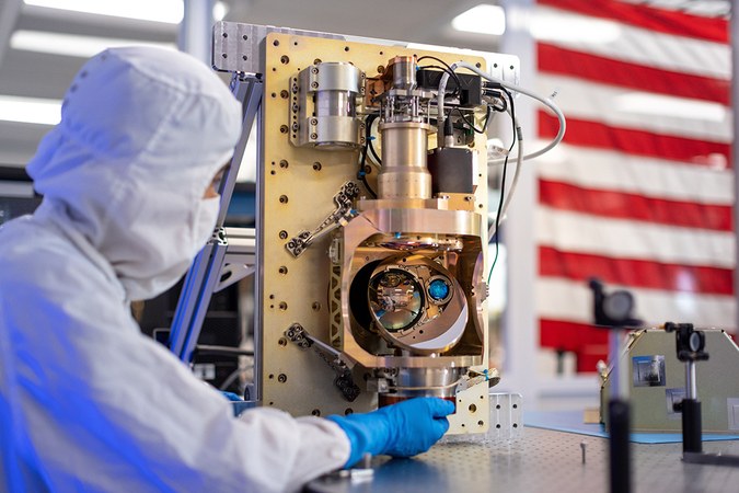
Muon Space is a Mountain View-based end-to-end space systems company that designs, builds, and operates mission-optimized satellite constellations for climate, defense, and Earth intelligence customers. Its Halo platform pairs the modular MuSat spacecraft bus with MuOS middleware and the MuSim digital twin, anchoring high-profile programs like Google's FireSat wildfire constellation and a $44.6M U.S. Space Force environmental monitoring agreement.

Astro Digital
Astro Digital designs, builds and operates small-satellite systems delivered as turn-key 'Mission-as-a-Service' offerings - covering spacecraft bus, payload integration, launch, ground network and mission operations - for earth observation, communications, science and in-orbit demonstration customers from LEO to GEO.
Ceres AI
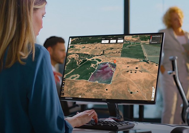
Ceres AI (formerly Ceres Imaging) is an Oakland-based agtech company that flies fixed-wing aircraft over farmland with custom-built spectral sensors, then uses machine learning to turn the resulting imagery into plant-level insight on water, nutrients and crop stress. Founded in 2014 during California's drought, the company now serves growers, agribusinesses, lenders and insurers across four continents.
Verdi
Verdi is a Vancouver-based agtech company building affordable, retrofit-ready irrigation automation systems for orchards, vineyards, and specialty crop farms. Founded in 2020 by UBC Engineering Physics graduates Arthur Chen and Roman Kozak, the company makes wireless IoT controllers and soil moisture sensors that install in minutes on existing irrigation infrastructure. Its AI-powered platform gives farmers real-time monitoring, leak detection, variable rate irrigation, and fertigation control from a mobile app - delivering documented results of up to 70% water savings, 90% labor reduction, and 10-20% yield increases. Backed by $9.5M total funding including a $6.5M CAD seed round in May 2025, Verdi counts E&J Gallo, Arterra Wines, and UC Davis among its customers, with 16,000+ acres automated across North America.