The first satellite failed. The second never reached its intended orbit. For the company that became DigitalGlobe, getting to a third attempt was itself an achievement. EarlyBird was lost after its December 1997 launch; QuickBird 1 followed in a launch failure in November 2000. A business built to photograph Earth had spent years struggling to establish a working vantage point above it.
Then, in October 2001, QuickBird launched successfully. The company could finally begin delivering on an unusually tangible promise: pay us, and we will show you a piece of the planet in detail. Roads, roofs, fields and coastlines became commercial information. The distance between a camera in space and a useful answer on somebody’s desk became DigitalGlobe’s territory.
That territory proved valuable. MDA’s 2017 acquisition announcement put DigitalGlobe’s equity value at $2.4 billion. Today, the lineage runs through Maxar to Vantor, the name adopted by Maxar Intelligence in October 2025. DigitalGlobe belongs to business history, but its cameras, archive and customers’ appetite for a better view still shape the market.
A camera with a very long commute
Walter Scott founded WorldView Imaging in 1992; co-founder Doug Gerull joined that year. The venture later combined with Ball Aerospace’s commercial remote-sensing operations as EarthWatch. It adopted the DigitalGlobe brand in 2001. The changing names accompanied a larger change: satellite observation was becoming something civilian organizations could purchase.
Scott had worked at Lawrence Livermore National Laboratory. In congressional testimony, he connected the idea to the end of the Cold War and the possibility of sharing the benefits of satellite observation more widely. The 1992 Land Remote Sensing Policy Act supplied a framework for that commercial ambition. A government capability was becoming the foundation for an industry.
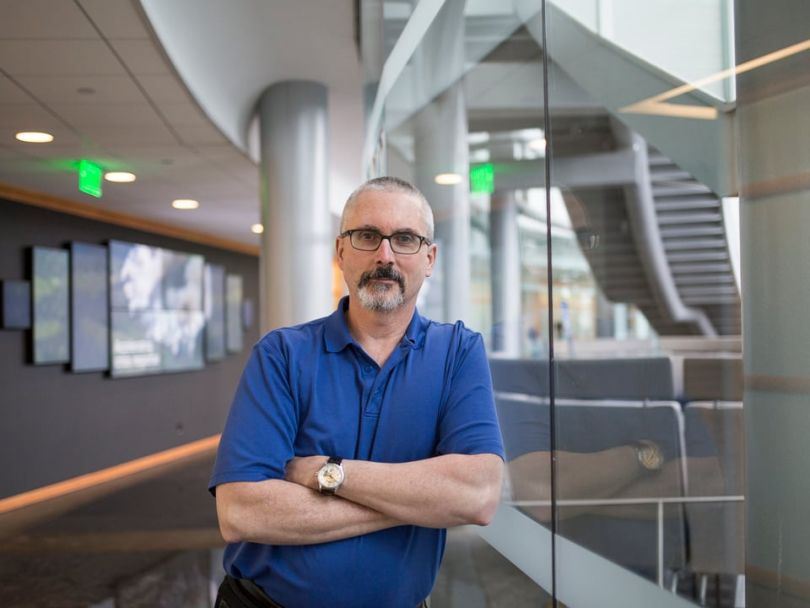
The early failures made the financial exposure painfully concrete. Scott told Built In Colorado that EarlyBird’s loss forced the company to shed 75 percent of its workforce. His description of launch risk was refreshingly economical:
“You push a button and either it goes up or it blows up.”
Walter Scott · founder · 2018
The useful lesson is narrower than “keep going.” A satellite venture needs enough financing and technical capability to survive events that can erase an entire asset. Persistence does not manufacture a replacement spacecraft. DigitalGlobe’s eventual success should not make those first losses look like inexpensive experiments.
The customer wanted an answer, with coordinates
DigitalGlobe operated in commercial Earth observation: it collected imagery from orbit, processed it, and licensed the resulting data and services. Its buyers included defense and intelligence agencies, mapmakers, energy companies and civil governments. NASA-supported researchers use the imagery lineage through the agency’s commercial data acquisition program, which now lists Vantor as a vendor.
For a mapmaker, a detailed image can help locate a road or update a building footprint. For a disaster team, comparable views from before and after an event can support damage assessment. For a researcher, repeated observations can help establish whether a landscape is changing. These are different jobs, even when the underlying photographs cover the same place.
The distinction matters commercially. A customer may need an existing scene from the archive, a fresh collection over a specified area, or a prepared basemap that drops into geographic software. Each asks something different of the supplier. Tasking schedules a new observation; archive access retrieves an old one. A mosaic joins selected images into a broader view.
DigitalGlobe’s expertise therefore extended beyond optics. It needed spacecraft operations, image processing, geographic accuracy and distribution. An attractive photograph in the wrong coordinate system, or delivered after a decision, can be a poor purchase. The business earned its place by making distant observations usable in ordinary working systems.
31 centimeters is a measurement, not magic
WorldView-3, launched in August 2014, makes the technical proposition easier to grasp. The USGS describes a panchromatic band with 31-centimeter resolution, eight multispectral bands at 1.24 meters, and eight shortwave-infrared bands at 3.7 meters. The headline number refers to a particular sensor channel. It does not describe every kind of data the satellite collects.
Bar length = ground sample size. Smaller samples capture finer spatial detail; different bands answer different questions.
There is another distinction buyers should keep in view: native sampling versus an enhanced image. ESA’s WorldView-3 catalogue explains that HD processing increases the pixel count and improves visual clarity while leaving the original ground sampling unchanged. A better-looking image is useful. It should not be confused with a camera collecting new physical detail.
Timing is equally important. An old, sharp scene can be excellent for historical analysis and unsuitable for checking today’s road access. A basemap assembled from clear observations may look seamless without representing one instant. Before selecting data, specify the place, date range, feature size and decision. “Show me everything” is an expensive brief.
The bill arrived before the pictures
WorldView-3’s project cost was reported at about $500 million in 2014. That scale helps explain why this business depended on more than occasional image orders. Hardware, launch, ground infrastructure and operations had to be financed before customers could benefit from a new satellite’s collections.
DigitalGlobe sold through annual and multi-year commercial agreements as well as individual deliveries. Its EnhancedView arrangement with the National Geospatial-Intelligence Agency illustrates the other side of the model: recurring payments for imagery capacity, tied to performance requirements. The company’s 2014 filing described monthly payments increasing to $25 million in September that year.
Historical DigitalGlobe revenue in US dollars. Bars start at zero; these are not current Vantor figures.
By 2016, revenue reached $725.4 million. Nearly 64 percent of sales came from the U.S. government market, according to Washington Technology’s account of the annual filing. An anchor customer can support ambitious infrastructure. It also makes budgets and procurement decisions consequential to the supplier.
The acquisition’s price needs similar care. MDA announced $2.4 billion in equity value and $3.6 billion in enterprise value, including about $1.2 billion in net debt. Those figures describe the same transaction from different angles. Neither is a current valuation, nor a measure of what a customer pays for a satellite image.
The archive learned to travel
A satellite image can acquire a new purpose years after collection. When a flood arrives or a city expands, yesterday’s ordinary scene becomes a baseline. DigitalGlobe accumulated something a newly launched camera could not recreate: observations of places as they used to be.
But an archive must be accessible. In November 2017, AWS announced that DigitalGlobe had migrated its 100-petabyte imagery library to the cloud. The announcement described replacing waits for material retrieved from tapes and disks with immediate library access. DigitalGlobe’s GBDX platform also put image analysis alongside cloud infrastructure.
EarthWatch, documented as a subscription product in 2018, offered browser access and standard web services. The old corporate name had returned on a product designed to make the accumulated imagery easier to use. For customers, that meant fewer barriers between discovering a scene and putting it into a project.
This is the part other businesses can copy without buying a rocket. Identify the delay between owning information and using it. Remove that delay. Package the result around the customer’s existing tools. DigitalGlobe’s cloud move suggests that distribution can change the usefulness of an asset without changing the sensor that created it.

Scott’s account of the company’s culture emphasized curiosity, autonomy and careful hiring. He also described choosing technical leadership rather than trying to own every executive responsibility. That is a useful complement to the hardware story: specialized work needs people with room to exercise their judgment.
Pick the observation that fits the problem
DigitalGlobe’s descendants operate in a market with credible alternatives. Airbus markets Pléiades Neo at native 30-centimeter resolution, putting it directly in the detailed optical-imagery conversation. PlanetScope emphasizes frequent coverage across land. ICEYE’s radar satellites observe through clouds and darkness. These are different capabilities, not interchangeable photographs.
A practical buying inference follows: broad monitoring may identify where to look; finer imagery may help inspect what happened there. Radar may answer a question when clouds block an optical view. The appropriate mix depends on geography, timing and the feature being measured. Higher spatial resolution alone does not settle the purchase.
Disaster response supplies a useful entry point. Vantor’s Open Data Program releases selected event imagery for humanitarian use, and its AWS listing provides data without a subscription. The listing specifies a Creative Commons Attribution Non Commercial license. Availability and permitted use remain properties of the particular dataset, so a free download should not be mistaken for unrestricted commercial rights.
Three names later, the delivery problem remains
The hardware story continued after DigitalGlobe’s acquisition. The fifth and sixth WorldView Legion satellites launched in February 2025. That October, Maxar Intelligence became Vantor and introduced Tensorglobe, a platform for combining spatial data from multiple sensors. The strategy increasingly puts processing and delivery alongside the collection itself.
A September 1, 2026 announcement makes that direction concrete. Vantor won a Naval Information Warfare Center Pacific contract for Maritime Sentry, supporting work with the Indian Navy and regional partners. The company said the service would combine optical and radar imagery with vessel analysis, delivering information through an API into systems customers already use.
The sale has traveled a long way from a picture of a patch of Earth. A maritime operator needs a useful indication of vessel activity; a researcher needs a defensible comparison; a responder needs a timely view. DigitalGlobe helped build the commercial machinery behind those requests. Its enduring test is whether the observation reaches the right person while there is still something useful to do with it.
Keep looking
Explore the DigitalGlobe website and Vantor’s current products, browse the Open Data Program, or follow company news.
Legacy accounts: LinkedIn, Twitter/X, Facebook and GitHub. Current Vantor accounts: Instagram and YouTube.
Watch Walter Scott’s “Why It Takes a Legion” keynote, or listen to his conversation about what satellites reveal on Earth.