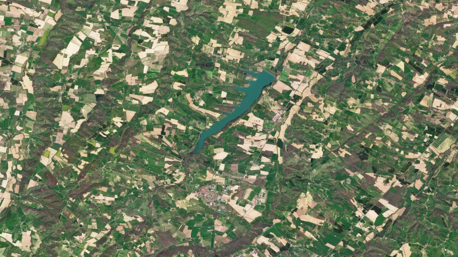
Consider a field in France. From orbit, it is a pleasant arrangement of greens and browns. The photograph tells you where the field is. It says rather less about what is happening there. For that, you need another photograph. And another. You need to know whether the green is arriving early, fading unexpectedly, or disappearing altogether.
- The habit: near-daily imaging turns scattered views into a record.
- The business: sell imagery, analysis and increasingly satellite services.
- The catch: a useful observation still needs a timely decision.
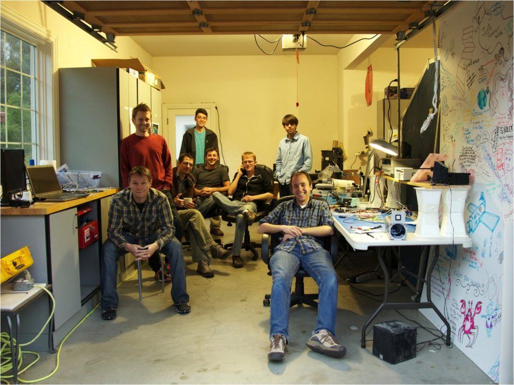
Planet built a company around that second photograph. Founded in 2010 by NASA alumni Will Marshall, Robbie Schingler and Chris Boshuizen, it set out to image Earth’s landmass every day. The ambition sounds like a photography project. Its consequences belong to agriculture, insurance, forestry and intelligence.
The camera was the small part
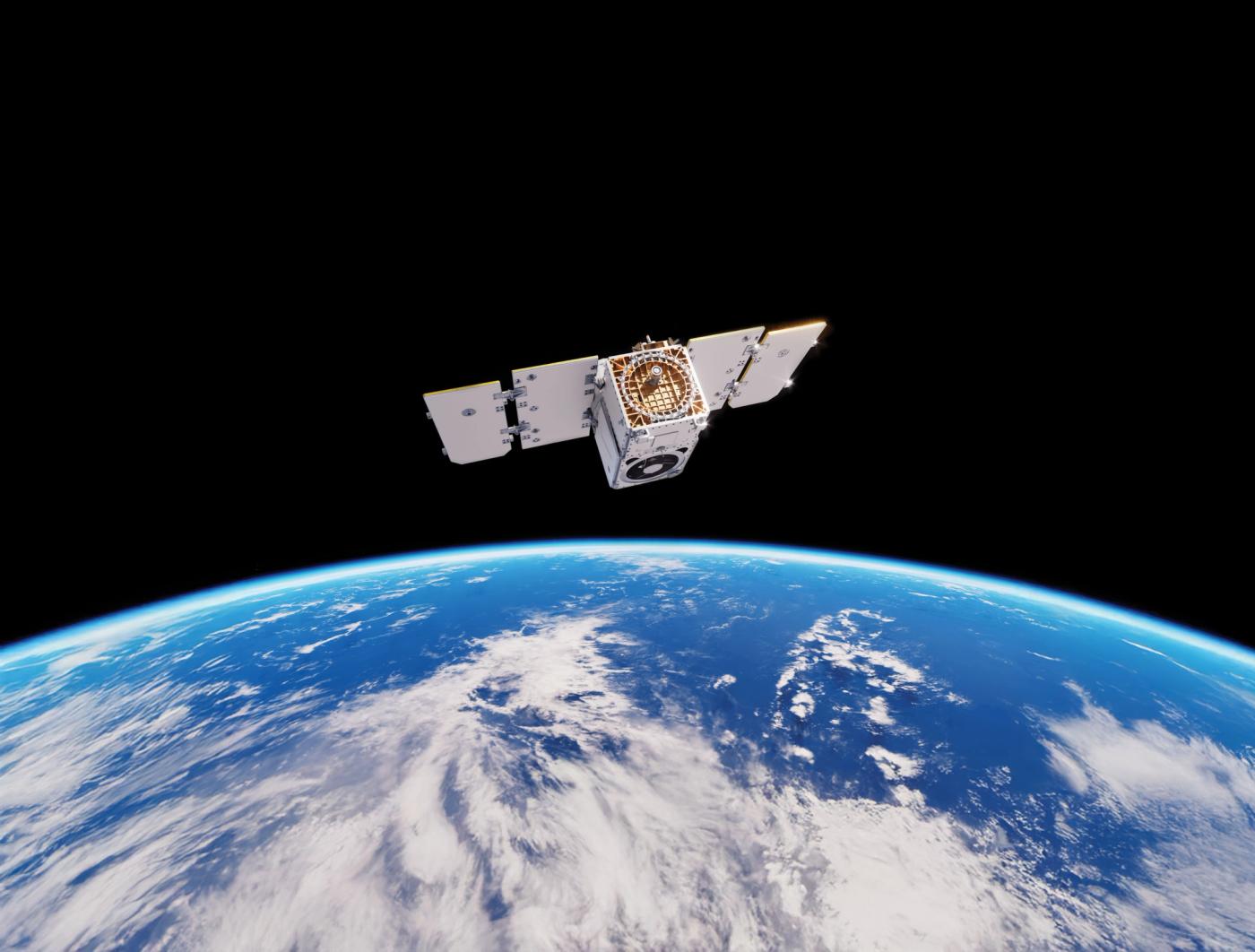
The early Dove satellite measured roughly 10 by 10 by 30 centimetres. That is a wonderfully domestic scale for space hardware: something closer to a loaf of bread than a school bus. Small satellites could be built in batches and sent up together. A constellation could trade the grandeur of a single spacecraft for the usefulness of repeated visits.
Then came an unpleasant demonstration of the word “together.” In October 2014, an Antares rocket exploded, destroying 26 Planet satellites among its cargo. It was an early, conspicuous failure in the company’s deployment history. A subscription to information from orbit rests on machinery that first has to survive the trip.
By 2017, Planet had achieved its daily landmass-imaging mission. The company’s expertise had grown across several difficult disciplines: spacecraft production, fleet operations, image processing and delivering data through software. Its public benefit structure gives that work an explicit social purpose. Its founding phrase is disarmingly plain: use space to help life on Earth.
Three ways of paying attention
PlanetScope, the broad monitoring service, captures near-daily imagery at approximately 3.7-metre ground sample distance. Its standard products use resampled three-metre pixels. Customers can follow large areas without having to predict every interesting event in advance. That is useful when the question is where something changed, rather than what happened at a place already under suspicion.
Tasking provides the closer look. Customers request images of particular locations; SkySat and Pelican serve this more selective job. Planet’s Pelican specifications distinguish available 50-centimetre-class Gen 1 imagery from planned 30-centimetre-class Gen 2 capability. A roadmap deserves its own tense.
Tanager adds a different kind of discrimination. Its imaging spectrometer, developed at NASA’s Jet Propulsion Laboratory, separates light into spectral information that can reveal methane and carbon dioxide emissions. Planet builds and operates the spacecraft; Carbon Mapper brings emissions analysis. Tanager-1 launched in August 2024. On October 20, 2026, Planet published first-light images from Tanager-2, which was still progressing through commissioning. The collaboration joins hardware, science and a practical reason to inspect a particular facility.
The farmer does not buy a pixel
BASF offers a useful answer to what customers actually do with all this. Its xarvio FIELD MANAGER combines Planet imagery with weather-station information and other inputs. Historical observations help identify different performance zones within fields. Biomass maps help guide applications of agricultural inputs. The grower receives information through a farming workflow, where it has a chance of changing a choice.
Other customers bring different questions. England’s Rural Payments Agency uses Planet tools to examine agricultural land management. Forestry users monitor clearing. Government and defence customers follow infrastructure and security developments. Research users investigate environmental change. The common need is a geographically extensive view that would be awkward, costly or dangerous to collect entirely on the ground.
There is a practical lesson here for anyone selling data: begin with a decision someone already makes. Identify the observation that could improve it. Deliver that observation where the work happens. Planet’s cloud platform, APIs, analytics and partners matter because a photograph sitting in an unfamiliar portal has limited influence on a farmer’s Tuesday.
“You can’t fix what you can’t see.”
Will Marshall / TED
Yesterday becomes inventory
Planet’s archive is an unusual asset. A new competitor can build a camera, but it cannot send that camera back to photograph last year. Repeated observations establish a baseline against which an analyst can judge a fresh event. In 2018, Marshall described the next step as “Queryable Earth”: making physical change searchable with machine learning.
That also explains Planet’s place in the market. Free public satellite data can be sufficient for some jobs; commercial alternatives such as BlackSky offer their own imagery and analytics. Planet’s case rests on the combination of frequent broad coverage, historical context and tools for extracting information. A buyer should compare the observation needed, the usable images available and the time until delivery.
A subscription with a launch bill
The economics have a distinctly terrestrial weight. Planet reported $307.7 million in revenue for fiscal 2026, ending January 31, 2026. Its December 2021 public-market transaction brought in more than $590 million in gross proceeds. In September 2025, it closed $460 million of convertible notes carrying 0.50% interest. Those are financing amounts, rather than a tidy price tag for building the constellation.
58% year-over-year growth
Fiscal Q2 2027. A quarter, not an annual figure.
Imagery subscriptions remain central, alongside software, analytics and tasking. Dedicated satellite services extend the business toward customers seeking sovereign capabilities. That expansion adds another job to the company’s roster: delivering and supporting systems, as well as selling access to observations.
The picture has to arrive in time
Optical imagery has limits. Clouds obscure the ground. Resolution constrains what an analyst can distinguish. Revisit frequency is different from a guarantee of a clear picture, and collection is different from delivery. A customer needing continuous, all-weather observation must consider other sensors and sources.
In October 2026, Planet described work on Slovenia’s Space Resilience Node. Its account of the country’s 2022 wildfire identified an operational problem: detailed imagery existed, but contracts, approvals and ordering slowed access. The new project aims to shorten that route to responders. After years spent making Earth visible, Planet is confronting a more human interval: the time between knowing something and doing something about it.