Before there was a navigation company, there was a director trying to explain a camera move. The aircraft could fly. The operator could fly it. Yet translating the picture in somebody’s head into an exact path through the air remained awkward. Vermeer’s early answer was to let customers preview the shot before a drone went anywhere. It was an excellent problem for a filmmaker to notice. It also concealed a second business.
- Vermeer gives aircraft a position using cameras and stored maps.
- Its customers include defense organizations and drone manufacturers.
- A tool for camera precision became a response to GPS denial.
A camera problem, before a navigation problem
Brian Streem studied film production at NYU. By March 2020, his pitch for Vermeer combined an augmented-reality preview with a drone-services marketplace: design a virtual shot, order it, and have an operator execute the mission. The early client roster included Netflix, Universal, Marvel and Google. Hollywood provided demanding users, with the additional advantage that a bad result was visible to everyone.
The decisive discovery came in conversations with military users. Streem describes keeping a spreadsheet of possible features and marking what people asked for. GPS-denied capability kept winning. A feature meant to improve camera precision addressed a larger worry: what happens when an aircraft cannot trust its satellite position? His summary in a public interview was blunt: “GPS denied was the largest thing.” The spreadsheet offered rather better direction than a grand theory of the market.

The map comes along for the ride
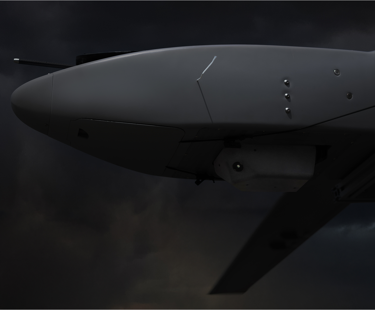
Vermeer’s present-day Visual Positioning System, or VPS, compares what onboard cameras see with maps stored on the aircraft. Its Air product accepts one to four electro-optical or infrared camera feeds and matches them against a 2.5D or 3D map database. The resulting position does not require a GPS signal. Think of recognizing a road junction from a paper map, except that the recognition happens onboard a moving aircraft.
That distinction matters. An aircraft can avoid a nearby obstacle without knowing its absolute location. Vermeer addresses the location question. Because this navigation process needs neither incoming radio signals nor outgoing transmissions, GPS jamming and spoofing do not attack the positioning source in the usual way. That is a property of the navigation method, rather than a promise that every part of an aircraft becomes invisible or invulnerable.
The company says VPS has been trained on more than 25,000 hours of aerial video, spanning terrain and seasons. It reports use on multiple unmanned-aircraft classes and manned aircraft. Its wider product menu includes Celestial, described as navigation through the stars, and Terminal Guidance. These are variations on a practical ambition: give an aircraft another way to establish where it is when satellite navigation is unreliable.
The buyer already has an aircraft
Vermeer occupies the navigation layer of the aerospace market. A manufacturer can bring an aircraft; Vermeer brings a way to position it. The commercial task therefore includes making software, cameras, computing and flight systems work together. Its business is selling technology to organizations and integrating it into their platforms, with government research contracts helping support development.
An October 2025 announcement named the U.S. Army, U.S. Air Force, Lockheed Martin and Northrop Grumman among its relationships, and reported operational use by Ukrainian forces. In 2026, Streem told Tectonic that Vermeer had about 50 customers, including 12 return customers. These are reported relationships and counts, rather than a public ledger of aircraft delivered.
India supplies a concrete example of expansion. Athena Intelligent Solutions acts as a value-added reseller and strategic partner, selling Vermeer systems and helping adapt them for local applications. For an Indian drone maker, the proposition is access to another navigation component for its own aircraft. For Vermeer, the partner supplies a route into a market where relationships and integration requirements are local.
There are alternatives. Sightec’s NavSight also offers visual navigation, with software and complete-payload configurations. Aircraft makers can evaluate inertial and other positioning technologies, too. Vermeer’s distinctive combination is its cinematic origin, camera-to-map architecture and operational presence in Ukraine. A buyer should test that combination against its own aircraft, mission and terrain.
Three numbers, three different meanings
In October 2025, Vermeer announced a $10 million Series A including an extension led by Draper Associates. Draper separately described more than $7 million in prior non-dilutive SBIR and AFWERX funding. One figure describes investment capital; the other describes government support for research and development. Neither establishes the price of fitting VPS to an aircraft.
October 2025
Investor-reported
Then there is the extravagant-looking $950 million figure in Vermeer’s 2022 contract announcement. It describes the ceiling of a multiple-award, indefinite-delivery/indefinite-quantity contract vehicle. Such a ceiling is procurement capacity, not money already paid to Vermeer. The useful milestone is access to a contracting route. Reading the number as company sales would turn a doorway into a bank balance.
Even a seeing aircraft can get lost
The most revealing recent development concerns a limitation. Over repetitive terrain such as water, forests or large fields, small positioning errors can accumulate. Eventually, the aircraft may struggle to match its view to its expected location. Vermeer’s July 2026 Recovery feature addresses that drift by searching a broader area of stored maps, then narrowing the match to regain position.
The company reports successful recovery in testing. The lesson is useful beyond drones: test what happens after your system loses confidence. GPS independence still requires successful visual matching. Terrain, available imagery and the aircraft’s operating conditions belong in the evaluation, alongside any headline accuracy claim.
The customer kept asking about the feature. Eventually, the feature became the company.
Its hiring materials make the work refreshingly tangible: flight-test documentation, wiring harnesses, soldering, and pilots exchanging data with engineers. The reusable habit is equally tangible. Record the problem customers repeat, demonstrate a capability they can inspect, then take it into the conditions that make their problem difficult. Vermeer began by asking how to reproduce a picture. Its customers supplied a more consequential question: how to keep knowing where you are.