A wall is an excellent way to hide a disagreement. Once it closes, the pipe behind it becomes a matter of recollection: someone installed it, someone checked it, someone is fairly sure where it went. Construction moves forward by making yesterday’s work harder to see. DroneDeploy sells a way to keep looking.
Its software collects images from drones, 360 cameras and robots, then turns them into maps, models and records people can revisit. A superintendent can compare two dates. An owner can inspect progress remotely. A team can look at what was under the ground before the trench was filled. The photograph becomes useful because it has a place, a time and an audience.
- One site, several views: aerial maps and interior walkthroughs share a project environment.
- The buyers: builders, owners and operators who need repeatable evidence of physical work.
- The next step: docks and robots collect data; visual AI helps teams examine it.
- The deal: Procore completed its approximately $845 million cash purchase in September 2026.
The problem was getting the picture into someone else’s hands
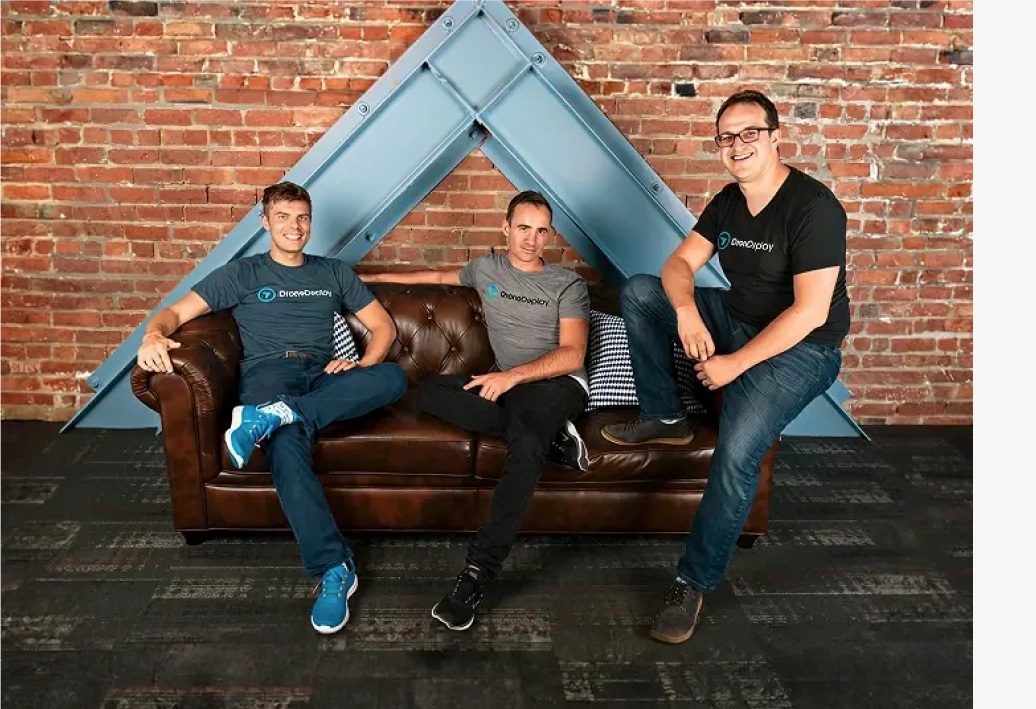
DroneDeploy traces its origin to South Africa in 2011. Mike Winn, Jono Millin and Nick Pilkington were considering the difficulties of using drones to help rangers protect Kruger National Park from poachers. Operating the equipment required extensive training and a Windows laptop. Sharing the resulting data was awkward. Why couldn’t a phone control the aircraft? Why couldn’t the information live in the cloud?
Those questions contain the eventual business. Getting something into the air was only part of the task. Getting what it saw into a form another person could use was equally consequential. The three founded DroneDeploy in 2013 and took the idea to San Francisco.
Today, DroneDeploy Aerial handles flight planning, image processing and analysis. Overlapping photographs become an orthomosaic - a stitched map corrected for perspective - or a three-dimensional model. Users can measure stockpiles, compare earthworks with a design and preserve a record of installed utilities. The expertise spans photogrammetry, geospatial positioning and the unglamorous work of moving files reliably.
There is a useful distinction here. An attractive picture can impress a client. A repeatable, measurable record can help a team make a decision. DroneDeploy’s market sits largely in that second category: construction, energy, mining, agriculture, utilities and infrastructure.
A business that outgrew its own name
A drone sees a roof beautifully and a corridor rather poorly. For a contractor, that creates a problem: one project, several capture tools, several places to hunt for evidence. In 2021 DroneDeploy acquired Rocos, a New Zealand robotics software company. In 2022 it acquired StructionSite, which specialized in interior construction capture. The acquisitions widened both the machinery and the view.
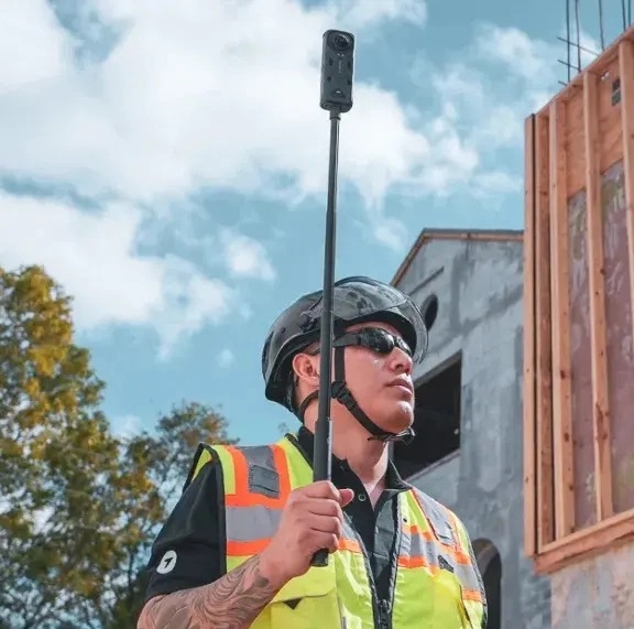
The combined aerial and ground platform followed in 2023. DroneDeploy Ground organizes 360 walkthroughs against drawings and supports comparisons with building information models. Its current Ground Pro offering adds mobile 3D scans and reconstructed 3D walks. The buyer can move between the outside of a building and its interior without treating them as unrelated projects.
The company describes three recurring customer requests: put the data together, automate its collection and help identify what deserves attention. That is a more persuasive explanation of the expansion than a catalogue of fashionable technologies. Each addition addresses another place where information goes missing.
PCL offers a sense of the scale involved. In May 2026, it expanded its DroneDeploy partnership to standardize aerial and ground reality capture across a portfolio of more than 1,000 active projects. Standardization matters because a useful record should survive the departure of the person who made it. The next project manager ought to find the same kind of evidence in the same kind of place.
The missing upload is an engineering problem
Once a team depends on regular images, capture becomes a recurring obligation. Someone must go out, operate the camera and upload the files. A busy person can postpone all three. The gap in the record may be discovered only when an argument makes the missing day important.
“The dock solves the problem of maps missing for five days because someone got busy and didn’t upload.”Jon Ferguson, Vice President of VDC, in a DroneDeploy customer testimonial
Dock Automation addresses that gap with supported drone docking systems: plan the area and schedule, then manage capture and processing through the platform. Ground robotics takes the idea indoors. Automation is useful here because the task repeats; its value grows when a site needs frequent observations over a long period.
Inspection also gives the economics some substance. California Resources Corporation adopted drones and DroneDeploy in 2018. In a customer account published by DroneDeploy, CRC credited the combined program with more than $500,000 in savings in one year across inspections, surveillance, mapping and reliability. It described reduced reliance on expensive manned aircraft and less laborious inspections. That is a customer-reported outcome for a particular operation, rather than a return every subscriber should expect.
One year’s reported savings from its drones-and-software program across inspection, surveillance, mapping and reliability.
Pictures become claims about progress
A large image library creates another job: looking through it. Progress AI analyzes captured imagery to report installed work and trade-level status. DroneDeploy says it covers more than 80 trade types and can work without a schedule or BIM model. Safety AI flags visible potential hazards for review. These products move the platform from keeping evidence toward interpreting it.
That changes the conversation with a customer. A project executive may want to know which area is behind. A safety manager may need to investigate an exposed edge. An asset operator may care about a visible defect. The value depends on whether the finding reaches someone able to act, while it still matters.
Competitors pursue parts of the same problem. PIX4Dcloud offers cloud mapping, measurement and site documentation. OpenSpace combines 360 capture with progress tracking, including human verification in its tracking service. DroneDeploy’s argument rests on the breadth of its combined aerial, ground and robotics workflows. A buyer should compare the actual task: a survey deliverable, an interior record or a recurring inspection program can lead to different choices.
There is also an ordinary limit to visual intelligence. A camera records what its position and conditions allow it to see. An image taken before a wall closes can reveal concealed work later; an image taken afterward cannot manufacture the missing view. Reviewing a report remains a job for the people responsible for the site.
The bill has more than one line
DroneDeploy sells subscriptions, with custom quotes for its enterprise offerings and a Unified plan that combines capture modes. Its published individual Flight & Analysis plan costs $4,188 billed annually. Ag Lite is $1,908 annually. Those are the listed software prices checked in October 2026; they are not complete budgets for a field program.
Enterprise: custom quote. Hardware, staffing and operations require their own budget.
A camera or aircraft, staff time, connectivity, deployment and review all belong in the calculation. Teams without a pilot program can buy capture through Data on Demand. Teams that already use Procore, Autodesk or Esri can connect evidence to existing workflows. Integration helps when it saves another round of downloading, renaming and explaining the same file.
A practical trial would begin with one recurring question: earth moved, work installed or an asset’s condition. Capture it at a useful cadence, agree on the necessary accuracy and give someone responsibility for reviewing the result. Count the time saved and the decisions improved. If the site rarely changes, the view is obstructed or nobody uses the record, a more elaborate capture program has little to compound.
Why Procore bought the eyes
In September 2025, DroneDeploy announced break-even and $15 million of strategic investment from existing backers for AI and robotics. A $50 million Series E in 2021 had brought its reported funding total at that time to $142 million. The financing history should be kept separate from the much larger figure that arrived next.
Procore announced an agreement to buy DroneDeploy in July 2026. Its SEC filing confirms the acquisition closed on September 9 for approximately $845 million in cash, subject to adjustments. DroneDeploy became a wholly owned subsidiary. The stated plan was to connect visual intelligence with the construction-management platform, bringing observed site conditions closer to the place teams manage work.
The purchase does not settle how well that integration will perform. It does make the underlying proposition plain. Software that manages a physical project benefits from a reliable account of its physical state. A schedule says what should happen. A dated capture helps establish what did.
The lesson a reader can copy is modest and useful: preserve evidence before the work conceals it, organize it so another person can find it, and make review someone’s responsibility. Flying robots are optional for some of those tasks. A memory that outlasts the meeting is the point.