The Startup That Turns Drone Photos of Cell Towers Into Money
Anne Zink built a company that lets you inspect a 300-foot cell tower without climbing it. The trick isn't the drone - it's what happens to the pictures after they land.
In 2016, drone inspection was having a moment. Fly a quadcopter around a cell tower, snap a few hundred photos, hand the client a folder of high-resolution images, and collect the check. Anne Zink looked at that business and saw the flaw everyone else was ignoring: the customer got a lot of pretty pictures and almost no answers. A tower owner cannot bill against a photograph. They need to know how tall the antenna sits, whether a mount has shifted, how much space is left for the next carrier's equipment. So Zink built the layer that turns the pictures into those answers. That layer is 5x5 Technologies.
The company, headquartered in St. Petersburg, Florida and run by Zink from Durango, Colorado, takes drone-captured imagery of critical infrastructure and reconstructs each structure as a precisely scaled 3D digital twin - a measurable, queryable software copy of a physical asset. Depending on the sensors, the models are accurate to roughly a thirty-second of an inch. Once a tower exists as a twin, an engineer can measure it, inspect it, and plan an upgrade from a laptop, without sending anyone up a 300-foot mast.
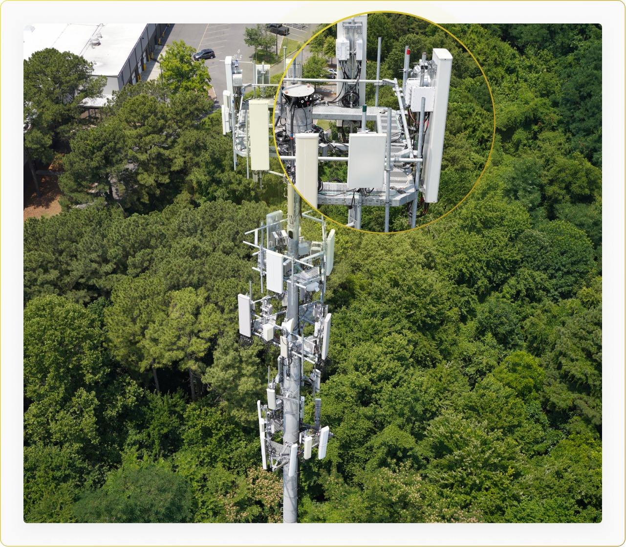
From pretty picture to something you can measure
The core product started as Ávrio, a cloud compute engine that ingests field data, stitches it into a scaled 3D reconstruction, and exposes tools for measurement, change detection and multi-tenant sharing. Data lands in 5x5's AWS-powered cloud - the company won an AWS Jump Start Award to accelerate its 3D spatial-computing work - and comes out the other side as a model an engineer can actually work against. A companion product, Reality CAD, pulls engineering-grade drawings out of that captured reality. In 2025 the company folded these capabilities into Platform Five, a broader asset-and-operations platform that also generates 2D drawings and exports to BIM.
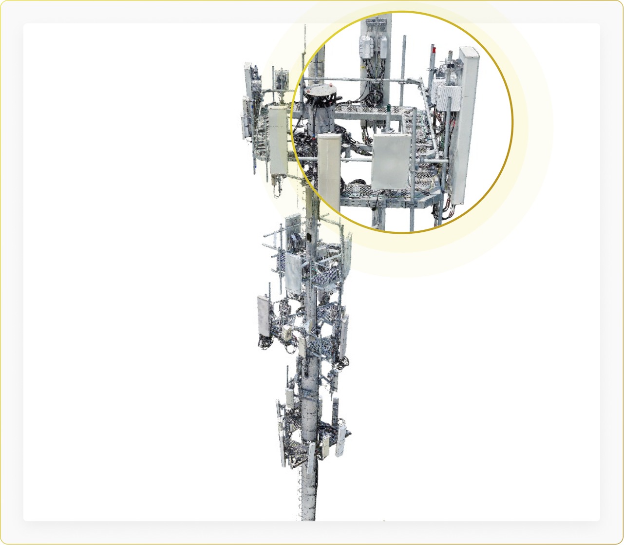
"While others produce 2D or low fidelity point clouds, we bring the process to life by producing a high fidelity, very precise digital twin." Anne Zink, Founder & CEO
Who is actually paying for this
The customer that proved the model is Crown Castle, one of the largest wireless infrastructure owners in the United States. In 2017 it engaged 5x5 to digitize a portfolio of more than 40,000 towers - the kind of engagement that only works if you can industrialize reality capture rather than treat every tower as a bespoke art project. By 2020 the company says it reconstructed more than 1,300 digital twins in a single year, running at a capacity of roughly 100 to 150 towers a week. The broader customer base runs to carriers, utilities, engineering firms such as Tower Engineering Professionals, systems integrators and government agencies.
The pitch to those buyers is not romance about robots. It is arithmetic. Sending a climber or a bucket truck up a tower is slow, expensive and dangerous. Company materials put the delta at roughly 35% lower inspection cost, 22% better data quality, and large gains in productivity and workflow speed. Whether the exact figures hold in every deployment, the direction is the point: a drone flight plus software beats a person on a ladder on cost, safety and repeatability.
The thing competitors do that 5x5 refuses to
Reality capture is a crowded field - Matterport, DroneDeploy, vHive, Pointivo, Trendspek, SiteSee and Autodesk all touch some version of this problem. 5x5's differentiator is less about the model and more about trust. Its analytics run human-in-the-loop: AI proposes what a piece of equipment is or whether something changed, and a trained technician validates it before it reaches the customer. That is slower than a pure black-box model, and deliberately so. When the asset is a structure people climb and signals depend on, a confident-but-wrong AI reading is not an acceptable failure mode.
5x5's data pledge: no sharing your data with competitors, no holding your data hostage, and no training its AI models on your data without permission. In infrastructure, that promise is part of the product.
How the business actually makes money
Underneath the technology is a straightforward B2B model. Customers pay to have assets captured, reconstructed and hosted, and to analyze them - through platform subscriptions, per-asset digital-twin modeling, and enterprise API integrations that push the data into their own engineering and BIM systems. That last part matters more than it sounds. Once a tower portfolio lives inside 5x5's pipeline and feeds a customer's downstream workflows, the switching cost climbs. The company is not selling a one-time scan; it is selling the system of record for a physical asset, updated over its lifecycle. Third-party trackers peg annual revenue in the low single-digit millions, though the company has not confirmed a figure, and those estimates should be read as rough.
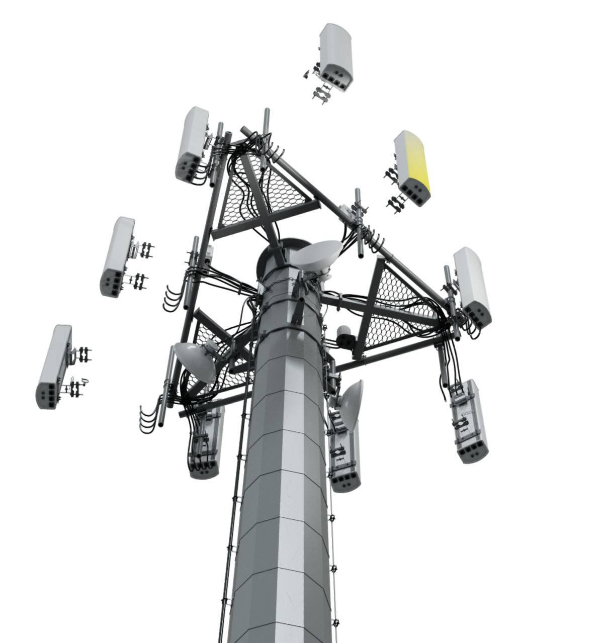
It is worth being clear about where 5x5 sits in the market. It is not a drone manufacturer, and it is not a general-purpose 3D-scanning app. It occupies a narrower, deeper niche: engineering-grade digital twins for owners of large, regulated, expensive-to-touch infrastructure, with telecom towers as the beachhead. That focus is the strategy. A tower company does not want a horizontal scanning tool; it wants software that understands mounts, sectors, coax runs and tenant boundaries, and that speaks the language of the standards its engineers work to. Depth in one vertical is how a company this size holds its ground against larger, broader platforms.
How the money came together
5x5 has raised roughly $30.4M, and the cap table tells its own story about who takes aging infrastructure seriously. In 2018 SoftBank Corp. invested about $4.4M - not because drones are fashionable, but because Japan's bridges, dams and towers are frequently 50-plus years old and the country faces a shortage of workers willing to inspect them. SoftBank's then-CTO Junichi Miyakawa called 5x5's 3D modeling and analytics "essential" to a proposed conservation service. In 2020, Boston's Safar Partners led a $6M Series B alongside Australian pension fund Hostplus, and the same investors returned for a convertible debt round in 2022.
"5x5 Technologies' capability of 3D modeling and analytics is essential for our proposed conservation service." Junichi Miyakawa, SoftBank CTO (2018)
The founder, and the room she's in
Zink spent 18-plus years bringing disruptive technology to market before 5x5, with a résumé that touches names like HP, Siemens, Lucent and SAP. She co-founded the company with Eyal Stein, whose early UAS tower-inspection work seeded the idea. 5x5 is one of the few woman-founded, woman-led firms in AI infrastructure analytics - a notable fact in an industry still organized around hard hats and bucket trucks. Running a Florida-registered company from a desk in the Colorado mountains, Zink has built a distributed team of around 38 with operations reaching across the EU, UK, APAC and Africa.

Where this goes next
The 2026 bet is bigger than inspection. 5x5 is pushing a thesis it summarizes as "wireless infrastructure is AI infrastructure" - the idea that every tower and campus site is a natural low-latency compute node for edge AI. To lead that Distributed AI Micro Edge push, the company hired Pankaj Taneja, a tower-standards expert formerly of Bentley Systems. It is a logical extension: once you have the definitive digital twin of tens of thousands of sites, you are unusually well positioned to decide what compute belongs on them. Whether the market moves that way is unproven, but it is a coherent second act for a company that already owns the data pipeline.
The copyable lesson underneath all of it is old-fashioned B2B wisdom: don't sell the hardware, sell the workflow. Drones became a commodity. A precisely scaled, queryable, BIM-compatible digital twin of a critical asset - plus a promise not to leak or exploit the data behind it - did not. That is the gap 5x5 spotted in 2016, and it is still the business.