The AI company reconstructing a map of what's buried beneath our streets - before anyone breaks ground.
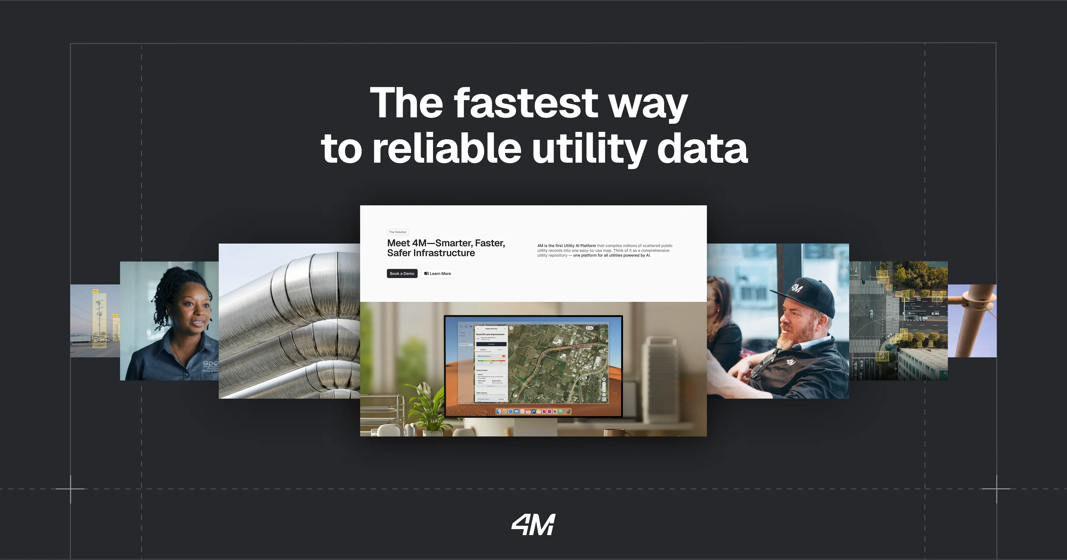
4M ANALYTICS. The company's own brand plate - "The fastest way to reliable utility data" - framing customer scenes from the field and a live look at its Utility AI Platform. Source: 4M Analytics
Beneath every city runs a tangle no one fully documented: water and sewage lines, gas and electricity, fiber and old abandoned pipe. It grew faster than anyone bothered to map it. Even in wealthy countries, the blueprints are missing, wrong, or locked in a filing cabinet at a utility owner's office. When a crew guesses wrong, a backhoe finds out the hard way - a struck gas line, a severed fiber trunk, a service outage and an unbudgeted bill.
4M Analytics was built to remove the guesswork. Founded in 2019 by Itzik Malka, Nir Cohen, and Yoav Cohen, the company set out to do something that sounds impossible on first hearing: rebuild an accurate map of the underground from scratch. Its answer is the Utility AI Platform - a system that compiles millions of scattered public utility records, layers in satellite and street-level imagery, reads legacy blueprints and LiDAR, and fuses them into one continuously updated map of what sits above and below ground.
The company describes the ambition plainly: to be "the Google Maps of the subsurface." For a civil engineer, that means drawing a box around a project site and watching verified utility data populate in real time - instead of spending weeks calling agencies and stitching PDFs together. 4M reports that shift cuts utility record research time by roughly 90%.
An interactive, map-based workspace. Compile nationwide utility data instantly, see AI-detected poles, manholes and valves, and read owner and line details - material, size, install date - alongside land ownership, topography, floodplain and right-of-way. Import and export straight to GIS and CAD, with no lengthy setup.
The core that makes the map possible. It fuses millions of public records, legacy paper blueprints, satellite and horizontal imagery, government databases and LiDAR into a single, continuously updated picture of the subsurface and everything above it.
GenAI-driven conflict mapping, excavator-strike prevention and permitting help. It surfaces utility conflicts and environmental constraints during design - when a fix costs a click - rather than in the field, when it costs a crew.
Relative illustration of research effort based on 4M's stated 90% reduction in utility record research time. Traditional subsurface utility engineering (SUE) is field-by-field and manual; 4M front-loads verified data into the design phase.
I drew the box around the project site, and I literally watched as the utility data populated in real-time.- Stuart Drahota, Group Leader, DPR Construction
4M sells to the people responsible for building infrastructure without hitting what's already there: civil engineering firms, EPC and construction contractors, utilities, and public agencies including departments of transportation.
4M runs on subscription access to its Utility AI Platform, pitched as an alternative to slow, manual subsurface research with no implementation cost or long setup. Estimated annual revenue sits near $16.3M, with a team of roughly 130.
The wager is simple: utility data is the cheapest risk to remove from a project, and the least fun to gather manually - so a platform that does it instantly earns its keep on every job.
4M sits between traditional subsurface utility engineering (SUE) firms and field-locating services like GPRS and 811 One-Call, GIS incumbents, and next-generation subsurface-sensing startups such as Exodigo.
Its edge is the confluence approach: instead of sending a truck to one site, it reconstructs nationwide coverage from records and imagery, then verifies it with AI computer vision - delivering the map before the field work begins.
Itzik Malka, Nir Cohen and Yoav Cohen start 4M to make the subsurface mappable and accessible.
A $30M extension led by Insight Partners and ITI brings the Series A to $45M and funds US expansion.
The platform supports 1,600+ projects, mapping 400,000+ miles of utilities across 1.3 million acres in a year.
4M raises a Series C to deepen nationwide coverage and platform capabilities.
The opportunity to support a company that brings valuable innovation to construction was a huge draw.- Nikitas Koutoupes, Insight Partners
The hidden infrastructures below us are not mysteries, but accessible maps that drive humanity's progress.- Itzik Malka, Co-Founder & CEO
Search "4M Analytics Utility AI Platform" on YouTube for the company's product walkthrough and demo clips.
Itzik Malka on why the subsurface stayed a mystery for so long - and what it takes to map it.
How 4M reconstructs underground maps from imagery, records and object detection.