gis
(34)
SOKIGO and the work after “Submit”
A school transport application, a ventilation report, a city moving house. SOKIGO builds the software that helps Swedish municipalities turn information into decisions - and shows why the awkward work usually begins after the form is filled in.
Sanborn made maps for fires. Now it maps what comes next.
The fire-insurance mapmaker became a geospatial company with aircraft, lidar and municipal software. Its enduring trick is turning a place into information someone can act on.

iENGINEERING and the art of making road data useful
A road can be photographed, measured and studied for decades. iENGINEERING builds the software that helps engineers turn all that evidence into something they can actually use.

CHR Solutions and the business of making broadband work
A fiber cable can carry a fortune in data and still earn nothing. CHR Solutions works on the engineering, software and everyday handoffs that turn a network into a functioning business.

CyberSWIFT and the paperwork hiding inside a map
A road is a line on a map. To CyberSWIFT, it is also a chain of inspections, approvals, payments, and people waiting for someone to act.
Nearmap’s billion-dollar view of your roof
The Australian company turned repeat aerial photography into a subscription business. Now it is following the insurance claim from the first overhead picture to the price of replacement materials.

Esri UK puts the map to work
A sewer maintenance programme reported £1 million in savings. Heathrow is connecting information on half a million assets. Esri UK’s business begins where the pretty map ends.

The Little Dutch Software Shop That Put the Whole Farm on One Map
Corizon built its reputation on an unfashionable idea: software should still work when the tractor loses its signal. Its open-source AgroSense project turned farm data into a map, won Java's Duke's Choice Award and carried a tiny Groningen engineering team into a major European agricultural IoT experiment.

Two Brothers-in-Law Turned a Birdhouse Into a 3.5-Billion-Image Property Machine
Eagleview began with one roofer trying to avoid a ladder. Eighteen years later, its planes, patents and property models sit inside decisions about claims, construction, taxes, solar panels and disaster response.

Critical Response Group Built the Map for the Moment Everyone Starts Shouting
CRG took a battlefield habit - one shared picture, one shared vocabulary - and carried it into American schools. The hard part was never drawing the map. It was making sure the right map appeared in the right hands when communications began to fray.

The Software Company Utilities Call When the Lights Go Out
Milsoft began with a pencil, a calculator and one engineer’s circuit model. Thirty-seven years later, more than 1,000 utilities use its software to find faults, dispatch crews, answer anxious callers and keep the grid’s many databases speaking the same language.

Marianna Kantor Is Making the Case That Every Business Problem Has a Geography
The Esri CMO has spent a career translating technical systems into business language. Her current argument is disarmingly simple: AI can know what, but decisions still happen somewhere.

Celerity Found a Business in the Mess Behind the Meter
Utilities rarely lack data. They lack clean, connected evidence they can trust when a regulator, a wildfire or a courtroom raises the stakes. Celerity built its business in that gap.

Dave Drazen Put the Internet on the Map
For 25 years, the GeoTel founder has turned buried fiber, rooftop towers and lit buildings into something decision-makers can actually see - and use.

VertiGIS Turned the Map Into a Workbench - Now 5,300 Organizations Run Real-World Operations on It
Most maps tell you where something is. VertiGIS wants the map to assign the repair, validate the parcel, update the network, and tell the office what happened next.

SenseHawk Turned a Solar-Site Meltdown Into the Operating System for 200 Gigawatts
The founders started with drones after a construction-cost crisis. Then they discovered the bigger prize: turning every panel, punch item and thermal hotspot into one living map that solar crews can actually use.

The Garbage Trucks That Went to War With Urban Blight
A University of Alabama economics experiment strapped cameras to trash trucks to map urban decay. Five years and $15 million later, City Detect is doing the work of 40 code officers with one vehicle - and cities are starting to fix blight before it spreads.

The founder teaching insurers to read a house from the sky
He runs an intelligence unit's worth of pattern recognition on the roofs of 160 million buildings. The question that started it was not about roofs at all.

The Company That Turned America's Hidden Fiber Into a Map You Can Actually Read
For more than 20 years, a small Florida team has been quietly answering one expensive question for the telecom industry: where is the fiber, and who owns it?
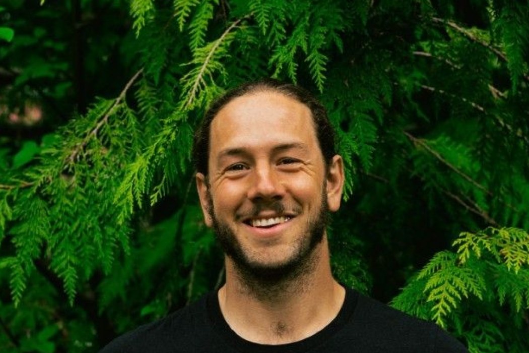
Bryce Jones
Bryce Jones is the CEO and co-founder of Flash Forest, a Toronto-based cleantech startup that uses autonomous drones, AI, GIS mapping and biodegradable seed pods to replant forests faster and more cheaply than traditional hand-planting. A former tree planter and biology graduate from British Columbia, Jones launched Flash Forest in 2019 after seeing how far reforestation methods lagged behind industrial logging technology. The company's stated goal is to plant one billion trees by 2028, with a focus on land that is unsafe or uneconomical for human crews, including post-wildfire terrain.
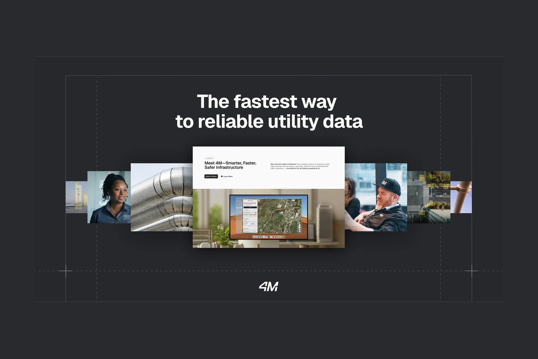
4M Analytics
4M Analytics is an AI-powered utility mapping company that compiles millions of scattered public utility records, satellite imagery, and legacy blueprints into a single continuously updated digital map of what lies above and below ground. Its Utility AI Platform gives civil engineers, contractors, and departments of transportation instant, verifiable subsurface data to plan safer, faster infrastructure projects and avoid costly excavation strikes.

AI Clearing
AI Clearing is an Austin- and Warsaw-based construction technology company that turns drone imagery and site data into automated progress tracking, quality control, and field intelligence for large infrastructure projects. Its AI-native platform ingests drone flights, CAD/BIM designs, schedules, and mobile field data into a single source of truth, delivering analyzed progress reports typically within hours rather than weeks. Serving contractors, asset owners, and lenders on utility-scale solar, energy transmission, roads, railways, and earthworks, the company raised a $14M Series A in 2023 and was the first technology firm in the world to certify its AI management system against ISO 42001.

Continuum Industries
Continuum Industries is an infrastructure-technology company behind Optioneer, an AI-powered platform that helps utilities, developers and engineers plan large linear infrastructure - power lines, cables, water networks and pipelines. Optioneer analyses geospatial data and tests millions of routing alternatives against environmental, social, cost and technical criteria, producing a shortlist of viable options in hours rather than months. Founded in 2018 and headquartered across Edinburgh, London and New York, the company raised a $10M Series A in 2023 to accelerate the build-out of grid and water infrastructure needed for the energy transition.

Flash Forest
Flash Forest is a Toronto-based reforestation company that uses drones, proprietary biological seed pods, aerial mapping, and machine learning to replant forests faster and cheaper than traditional hand-planting. Founded in 2019, it deploys aerial and ground-based systems to restore land degraded by wildfire and logging, and pairs planting with a forestry intelligence service that surveys and monitors forests. The company has planted more than 3 million trees and aims to reach one billion by 2028.
Sitetracker
Sitetracker is a cloud software company that helps owners and operators of critical infrastructure - telecom towers, fiber and wireless networks, EV chargers, renewable energy sites, utility grids and data centers - plan, build, operate and maintain their assets from a single system of record. Built on the Salesforce platform, its asset lifecycle and deployment operations management software is used by roughly 300 organizations worldwide, including BT, Ericsson, AT&T, Vodafone, Southern Company, RWE, Engie and EVgo, to manage millions of sites and projects representing more than $25 billion in portfolio holdings.

GeoX
GeoX is an Israeli-founded geospatial AI company that turns aerial imagery, satellite data and ground-level images into detailed 3D models of individual buildings. Insurers, reinsurers, banks and public agencies use its property database - covering roughly 160 million US properties and expanding across Europe, Japan and Australia - to assess roof condition, elevation and exposure to fires, floods and storms without sending anyone into the field. The company raised a $19M Series A in 2024 (led by Flashpoint), bringing total funding to $23M.

CivilGrid
CivilGrid is a San Francisco construction-intelligence company that centralizes utility, environmental, geotechnical and land-rights data into a single collaborative platform - often called 'Google Maps for pre-construction.' Founded in 2021 by Wharton classmates Josh Mackanic and Brandon Cohen, it partners with utilities and agencies to pull current GIS datasets so engineers and construction teams can scope, plan and de-risk projects before anyone breaks ground, cutting pre-construction research time by up to 90%.

Mapistry
Mapistry is a Berkeley-founded B2B software company that helps industrial facilities manage environmental compliance for air, stormwater, wastewater, SPCC, and waste requirements. Its platform replaces spreadsheets and paper binders with automated data collection, mobile inspections, a compliance calendar, site-map building, and real-time analytics - plus an AI feature, Maple, that takes routine data entry off environmental managers' plates. Started by Allie and Ryan Janoch, the company pairs its software with hands-on environmental expertise and serves 2,000+ facilities across dozens of manufacturers.

Blumen Systems
Blumen Systems is a San Francisco software company building an AI-powered operating system for infrastructure permitting and environmental diligence. It fuses 2,000+ geospatial datasets, a nationwide database of local zoning and permitting rules across 3,200+ jurisdictions, and a decade of historic permit outcomes to flag fatal flaws and regulatory risk on energy and infrastructure sites in days instead of months. In 2025 its tools were used to evaluate roughly 60 GW of solar, battery, gas, and data-center projects.

RSC (Robert Stephen Consulting)
RSC (Robert Stephen Consulting LLC) is a San Ramon, California consulting firm that helps large organizations run their buildings like data. Founded in 2000 by Bob Stephen, RSC implements Integrated Workplace Management Systems (IWMS) and Computer-Aided Facilities Management (CAFM) software - notably Archibus - and bridges it with Esri GIS mapping through its REALS platform. It serves Fortune 500 companies, government, healthcare, education, energy and manufacturing clients on everything from space planning and chargeback analysis to lease and asset tracking. In October 2024 RSC was acquired by Langan Engineering & Environmental Services to power Langan's growing digital solutions practice.