Somewhere beneath a street is a pipe. A public agency has to know where it runs, who maintains it, and what happens when somebody needs to dig. Vish Tadimety has built a considerable part of his working life around problems of this sort: information that becomes useful only when people can connect it to the physical world. The pipe is stubbornly indifferent to the elegance of a software presentation.
In conversation, the co-founder and CEO of CyberTech Systems and Software moves easily from cloud platforms to land records and underground assets. His subject is enterprise technology, but the nouns keep returning to earth. Counties. Streets. Buildings. The work of keeping track of a place, and making the systems responsible for it function together.
There is a career behind that habit of thought. Tadimety trained in electrical engineering at the Indian Institute of Technology Madras, built companies in networking and software, and took one of them into Accenture. Today, his attention rests on the meeting point of business systems, cloud infrastructure, and geography. It is an unusually literal version of staying grounded.
The engineer before the map
His full name is Viswanath Tadimety. Vish is the name on his public professional profile and company biography. His education includes an M.Tech from IIT Madras and executive education in Management Essentials at Columbia Business School. Engineering and management appear together in the record, as they do in the businesses that followed.
For an engineer running a technology company, a working system is only part of the assignment. Someone has to finance it, find customers, organize delivery, and persuade other companies to participate. Tadimety’s career includes those jobs too. His business experience spans turnarounds and raising money from public markets, strategic investors, and venture funds.
CyberTech’s Indian company appointed him to its board on May 23, 1995. The business eventually developed offices in North America and development centers in India. Tadimety also founded CyberTech Europe. There is a practical internationalism to this history: customers and capital in different places, engineers working across borders, and software that must keep working after the meeting has ended.
Steven Jeske became a recurring collaborator. An accountant by training and a former PwC manager, Jeske has served as CyberTech’s CFO since 1999. Beside Tadimety’s engineering background sits a long financial partnership. The pair would go on to build another company together, with a network equipment maker among its backers.
A network, then a different kind of connection
In 2000, Tadimety and Jeske co-founded Corliant. Its seed investors included Cisco Systems, Great Hill Partners, and JMI Equity. Corliant designed and implemented IP networks for telecommunications and enterprise customers. The attraction of IP was convergence: services such as voice and data could share a network, reducing the need for separate systems dedicated to separate tasks.
It was consequential work with a rather unglamorous test. Could a customer deploy and support the network without unnecessary cost and uncertainty? Corliant specialized in Cisco technologies and the expertise needed to make them work inside larger organizations. Its business depended on understanding what happened between a vendor’s capabilities and a customer’s actual installation.
On October 4, 2007, Accenture announced an agreement to acquire Corliant. The terms were undisclosed. Approximately 150 Corliant employees were expected to move across when the transaction closed. That number offers a useful sense of the company Tadimety was leading: a specialist team large enough to bring an established practice into a global consultancy.
After the acquisition, he became global managing director of Accenture’s Cisco Solutions Unit. The pattern is worth following. Corliant brought depth in a specific technology; Accenture supplied a broader customer base and delivery organization. Years later, CyberTech would again occupy the space between major technology platforms and the people trying to put them to work.
Where the spreadsheet meets the street
CyberTech dates its shift toward geospatial work to 2008. In 2012, it began incubating geospatial products. By 2018, cloud-native software development was a focus under Spatialitics, where Tadimety is also CEO and co-founder. The sequence shows a business gradually moving from delivering specialist services toward developing products around the same body of expertise.
The distinction matters because maps and enterprise records often describe different aspects of the same thing. A map locates an asset. A business system handles its records and processes. Connecting those views gives location information a job beyond looking informative on a screen. The information has somewhere to go and someone who can act on it.
CyberTech’s work combines Esri ArcGIS with cloud platforms and enterprise software such as SAP. A utility network is a particularly tangible example of the underlying problem. Knowing an asset exists is useful. Knowing where it sits, how it relates to other assets, and how its records fit into maintenance work makes the information operational.
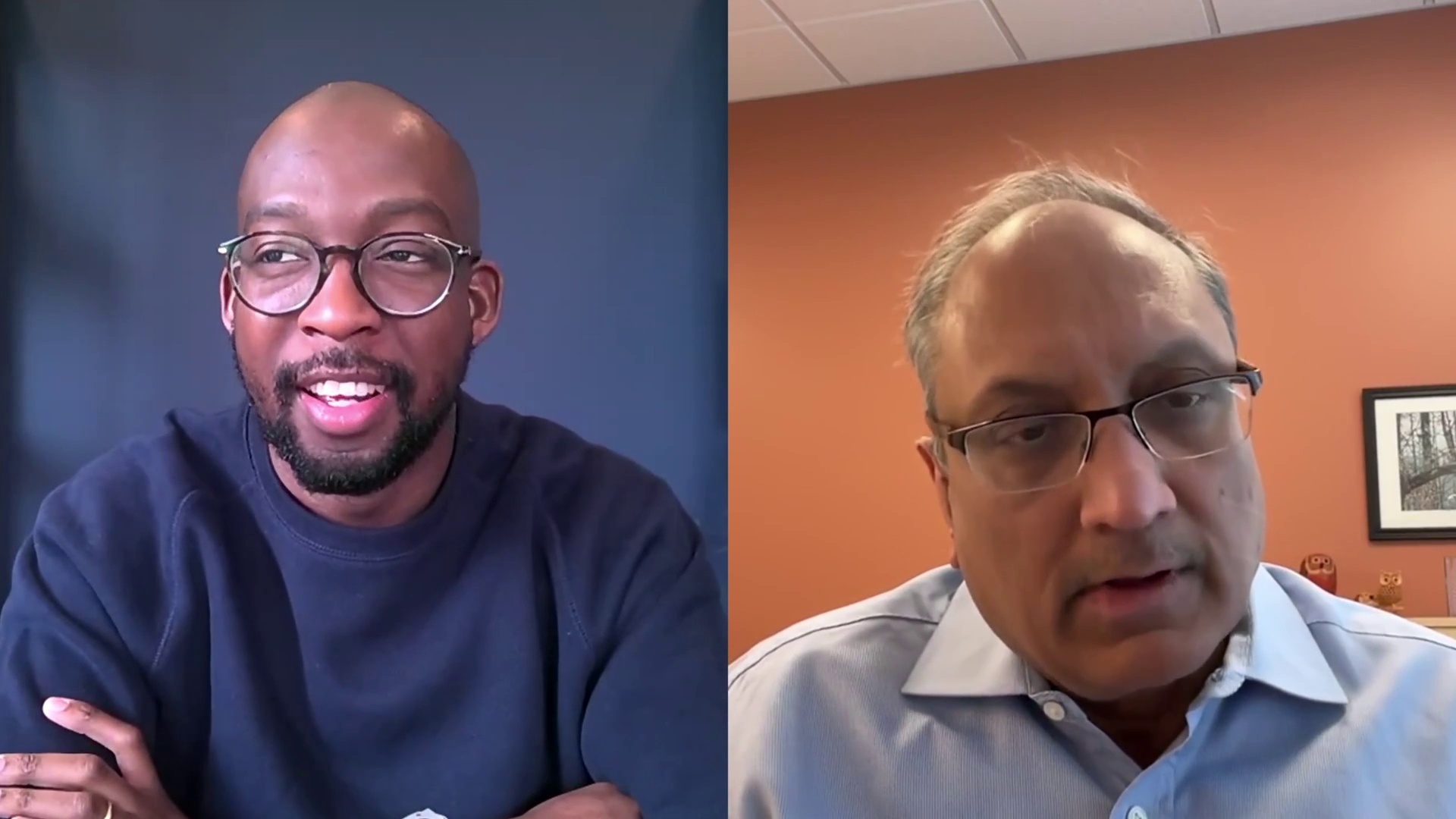
In his 2025 conversation with Microsoft’s Bayo Oresegun, Tadimety illustrated the work through Middlesex County. He described helping design an Azure platform with Microsoft and using spatial tools to support economic development. A business looking for premises could identify a location to buy or lease in three clicks, he said. Transportation planning and public safety were part of the discussion too.
Three clicks is an appealingly modest unit of ambition. It translates a large software undertaking into something a person can try. A county wants businesses to find it; a business wants somewhere suitable to operate. Between those desires lie records, applications, and decisions about how information should be presented. The map earns its keep when that journey gets easier.
The company in the middle
Tadimety’s explanation of partnerships is unusually direct. Microsoft supplies cloud technology. Esri supplies spatial software. CyberTech helps implement and manage the resulting systems. In the interview, he presents state and local government as a market with its own data, workflows, and stakeholders. A county’s land records are bound to the particular county that holds them.
He also talks about the long duration of the work. Moving to the cloud is one step; applications and data use continue to develop afterward. A successful migration does not settle every future question about a system. There will still be records to maintain, staff to support, and new ways to use the information already collected.
“Do not compete with the channel. Help them succeed.”
Vish Tadimety, on working with partners, 2025
That advice, which he says CyberTech learned from Esri, explains how he approaches other companies serving the same customers. He offers engineering capability that partners can use in their own work. There is commercial restraint in the proposition: leave room for someone else’s customer relationship, and make yourself useful within it.
Jack Dangermond, Esri’s founder, appears repeatedly in Tadimety’s professional orbit. Spatialitics lists Dangermond as its mentor, and CyberTech names him as a mentor and motivator. Tadimety’s own reflections on CyberTech emphasize clients, associates, and partners whose relationships with the company extend over decades. Longevity is part of the business argument.
A taste for the deliberately narrow
In his July 2026 shareholder letter, Tadimety described CyberTech as “specialized, focused and deliberately niche.” The wording is revealing. Many businesses would happily call themselves specialized; fewer would put deliberate limits on the menu. He argues for concentrating engineering effort in selected areas, including enterprise cloud, geospatial work, and SAP transformation.
That choice comes with ordinary commercial pressures. For the year ended March 2026, CyberTech reported total revenue of ₹2,630.3 million, up 2.7%. Tadimety discussed investment in talent and AI-enabled offerings alongside cautious customer spending. It is a more useful picture of company building than uninterrupted ascent: decisions about what to fund while customers make decisions about what to spend.
He credits Jeske and executive director Raman Subramanian, and emphasizes financial controls, client trust, and engineering effort. His account of progress depends on these repeated practices. A business built around long engagements has to remain useful long enough for the next engagement to happen. The glamorous part, if there is one, must make room for doing the accounts.
Cloud infrastructure + spatial data + enterprise workflows
A conceptual view of CyberTech’s focus, rather than a scale or performance chart.Still looking at the ground
The current work continues that convergence. In August 2026, CyberTech announced a partnership with 1898 & Co. focused on modernizing ArcGIS and enterprise systems for utilities and infrastructure organizations. The collaboration combines GIS and cloud implementation with infrastructure advisory and industry expertise. It brings another participant into a business model already built around cooperation.
In October 2026, CyberTech announced that it had earned Esri’s Imagery Specialty. The company described work spanning imagery management, delivery, analytics, and integration into operational systems. Tadimety’s emphasis was on turning imagery into usable operational data. An image of the world becomes more valuable when it can inform work being done in that world.
Across networking, cloud systems, and maps, the recurring interest is connection with a practical purpose. Tadimety has worked on the infrastructure that carries information and the software that gives information a location. His ambitions now include AI and spatial analytics, but the questions remain pleasingly concrete. Where is the asset? What record belongs to it? Who needs to act?
The pipe beneath the street will never appreciate a keynote. The person responsible for finding it might appreciate a system that works.