A water pipe is a wonderfully unambiguous object. It occupies a place. It carries water. Give it a second life inside enterprise software, however, and certainty becomes harder to maintain. The map records its location. The asset system records its maintenance. Someone has to make those accounts agree. That ordinary administrative problem is a good place to begin understanding CyberTech Systems and Software, Inc.
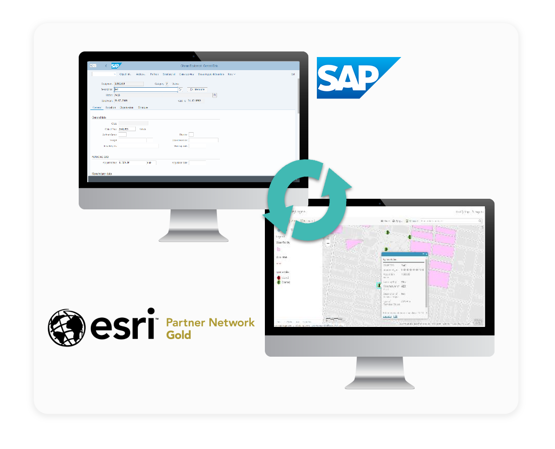
- Connects ArcGIS maps with SAP business records.
- Migrates and manages GIS platforms on cloud infrastructure.
- Sells implementation expertise, ongoing operations and specialist software.
Think of CyberTech as an engineering company for organizations whose assets have addresses. Water utilities, cities and transit agencies need geographic information systems, or GIS, to do more than draw attractive maps. They need maps connected to work, money and decisions. CyberTech’s offering spans Esri ArcGIS, SAP enterprise applications, cloud infrastructure and the software connecting them.
When success becomes a maintenance bill
Loudoun Water offers a revealing example. Its earlier Esri-SAP integration, GEO.e, delivered useful consistency between systems. Success brought requests for more synchronized objects and better mapping. But modifications became difficult and costly, specialist resources were scarce, and large datasets exposed performance limits. A planned move to SAP S/4HANA added another reason to reconsider the arrangement.
The utility chose Spatialitics software: Asset Mapper for map-based work and Unity Engine for synchronization. The resulting architecture connected its Esri, SAP and Spatialitics cloud environments. Spatialitics hosted configuration data while the underlying business data stayed in the enterprise environments. Maintenance planners could create work orders from maps; customer-service staff could see nearby open jobs.
“is easy for us to operate, and is S/4HANA ready”
Mike Beardslee · Technology services, Loudoun Water
The interesting turn is the buying decision. Loudoun Water had learned to prefer a maintained commercial product over a custom integration that became harder to extend. Readers managing similar systems can borrow the question: who will understand this connector when requirements change? A working interface is only the beginning of its useful life.
The business after go-live
Unity Engine makes CyberTech’s position easier to see. Its Microsoft Marketplace listing describes bidirectional synchronization between ArcGIS and SAP, with administration, auditing and monitoring. The company operates in the space between established platforms. For an asset-heavy organization, that space includes the rules determining which application owns which information and how a change reaches everyone else.
There is also the less glamorous business of keeping GIS available. Managed ArcGIS Cloud Services, shortened to MACS, packages assessment, implementation and ongoing operations. White Glove includes hosting on CyberTech’s cloud and subscription pricing. Advanced supports a customer’s own cloud. CyberTech also advertises managed on-premises operations. Customers are choosing who runs the system as well as where it lives.
At Portsmouth, that distinction is explicit. The city retained AWS infrastructure management while CyberTech operated ArcGIS through MACS Advanced. The published project account describes a phased migration, an upgrade from ArcGIS Enterprise 10.9.1 to 11.5 and automated daily backups replacing a manual process. Dividing responsibility clearly is part of the deliverable.
NJ TRANSIT supplies a different example. CyberTech’s case study describes more than 600 portal members and a dedicated imagery server deployed in November 2025. Imagery compute and storage were separated from other GIS workloads; ArcGIS Pro was also delivered through AWS AppStream 2.0. The architectural lesson is practical: give growing imagery work room without making every other application compete for the same resources.
The price is in the operating model
A March 2026 Groton Utilities procurement comparison gives this business a dollar figure. CyberTech proposed $28,800 for implementation and $239,458 for managed services across three years, totaling $268,258. Those are proposal figures for that scope. They show why the recurring operating arrangement deserves at least as much scrutiny as the initial migration.
$28,8003-year managed services
$239,458
There are real alternatives. ROK Technologies appeared in that comparison. Irvine Ranch Water District’s separate 2025 procurement evaluated ROK, CyberTech and NewEdge Services, then recommended ROK on qualifications, technical approach and pricing. CyberTech’s combination of GIS operations and SAP integration is a useful reason to consider it; buyers still have to match capabilities to the particular job.
A company built around the connections
CyberTech’s history helps explain the mix. Its account dates a geospatial shift to 2008, product incubation to 2012 and a cloud software emphasis through Spatialitics to 2018. Co-founder and CEO Vish Tadimety’s background includes network engineering businesses and work at Accenture. Today, CyberTech also sells SAP modernization and support; the group’s software portfolio extends to GeoShield public-safety dashboards and spatial applications for healthcare and utilities.

That range does not make every service interchangeable. A utility moving to ArcGIS Utility Network needs data preparation and migration expertise. An SAP customer may need application support or a path to S/4HANA. A police department using GeoShield wants dispatch and records information assembled into operational dashboards. The common thread is integration, but the purchasing teams and measures of success differ.
The company describes its culture through three values: integrity, intelligence and technical excellence. Its careers page emphasizes collaboration and development. For a customer, those promises become tangible in the operating agreement: who monitors the environment, who approves changes, and how issues reach someone able to resolve them. Specialist knowledge earns its keep when it survives the handoff from project team to support team.
In August 2026, CyberTech announced a partnership with infrastructure consultancy 1898 & Co. The pairing brings GIS implementation and cloud engineering alongside utility advisory expertise. It fits a market where buying another application can be the easy part, while agreeing on data, responsibilities and operating processes takes longer.
The useful starting point for a prospective customer is an inventory: which assets matter, which system owns each record, which workflows cross the boundary, and who answers when synchronization stops. Existing licensing matters too. Loudoun Water already had an Esri enterprise agreement. A small organization needing only a simple map has a different purchasing problem. CyberTech’s proposition becomes relevant when the map must participate in running the business.