aerial-imagery
(8)
Sanborn made maps for fires. Now it maps what comes next.
The fire-insurance mapmaker became a geospatial company with aircraft, lidar and municipal software. Its enduring trick is turning a place into information someone can act on.
Nearmap’s billion-dollar view of your roof
The Australian company turned repeat aerial photography into a subscription business. Now it is following the insurance claim from the first overhead picture to the price of replacement materials.
Two Brothers-in-Law Turned a Birdhouse Into a 3.5-Billion-Image Property Machine
Eagleview began with one roofer trying to avoid a ladder. Eighteen years later, its planes, patents and property models sit inside decisions about claims, construction, taxes, solar panels and disaster response.

Canibuild
Canibuild is an AI-powered site-planning platform that answers construction's first question - can I build here? Builders, contractors and developers use it to check a site's feasibility, zoning, setbacks and utilities, generate 3D site plans and produce branded quotes in under 60 seconds. Founded in Sydney in 2020, the platform covers Australia, New Zealand, the United States and Canada and has run more than 4 million site assessments.
Near Space Labs
Near Space Labs is a Brooklyn-based earth-imaging company that flies small autonomous robots called Swift into the stratosphere on helium balloons to capture 7-centimeter-resolution imagery of the ground below. Founded in 2017, it delivers frequent, analysis-ready aerial data to property and casualty insurers, governments, utilities and environmental groups at a fraction of the cost of traditional planes or satellites, positioning balloon-borne imaging as a scalable, low-emission alternative for monitoring cities, infrastructure and disasters.

GeoX
GeoX is an Israeli-founded geospatial AI company that turns aerial imagery, satellite data and ground-level images into detailed 3D models of individual buildings. Insurers, reinsurers, banks and public agencies use its property database - covering roughly 160 million US properties and expanding across Europe, Japan and Australia - to assess roof condition, elevation and exposure to fires, floods and storms without sending anyone into the field. The company raised a $19M Series A in 2024 (led by Flashpoint), bringing total funding to $23M.
Aerobotics
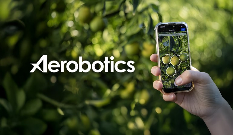
Aerobotics is a Cape Town-founded agritech company that turns aerial and smartphone imagery into tree-level intelligence for fruit and nut growers. Using drones, satellites and machine-learning algorithms feeding its Aeroview platform, it counts trees, flags missing or sick plants, tracks pests and disease, and forecasts yields with size, color and quality measurements - helping growers across roughly 18 countries protect crop value and make data-driven decisions.
Ceres AI
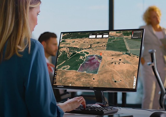
Ceres AI (formerly Ceres Imaging) is an Oakland-based agtech company that flies fixed-wing aircraft over farmland with custom-built spectral sensors, then uses machine learning to turn the resulting imagery into plant-level insight on water, nutrients and crop stress. Founded in 2014 during California's drought, the company now serves growers, agribusinesses, lenders and insurers across four continents.