satellite-imagery
(12)
DigitalGlobe lost two satellites. Then it sold the world a closer look.
Before it became part of Maxar, DigitalGlobe turned orbital photography into a business worth billions. Its legacy, now carried forward by Vantor, shows why the real product was never just a picture.

AxionOrbital Space
AxionOrbital Space is a San Francisco startup building foundation models that turn radar satellite data into analysis-ready optical imagery in real time. Its flagship model, ORION, translates Synthetic Aperture Radar (SAR) backscatter into photorealistic images so customers can see through clouds, smoke, and darkness - the roughly 70% of the time when conventional optical satellites go blind. A Y Combinator Winter 2026 company, it targets defense, commodities trading, and disaster response.
4M Analytics
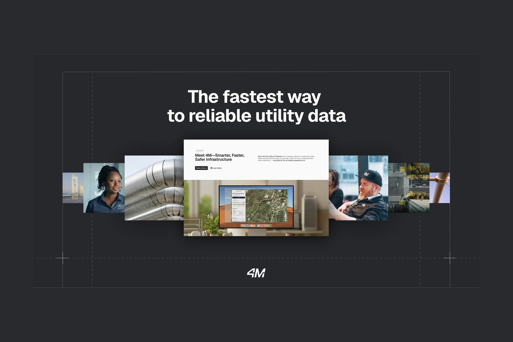
4M Analytics is an AI-powered utility mapping company that compiles millions of scattered public utility records, satellite imagery, and legacy blueprints into a single continuously updated digital map of what lies above and below ground. Its Utility AI Platform gives civil engineers, contractors, and departments of transportation instant, verifiable subsurface data to plan safer, faster infrastructure projects and avoid costly excavation strikes.
SkyFi
SkyFi is an Austin, Texas-based Earth intelligence company that runs a self-service marketplace for satellite imagery and analytics. Through a single web platform, mobile app and API, customers can search archives, task satellites and buy optical, SAR, hyperspectral and aerial imagery from more than 50 commercial providers - then run built-in AI analytics on it. Founded in 2021 by Luke Fischer and Bill Perkins, SkyFi aims to make geospatial data as easy to order as a rideshare, serving defense, government, finance, energy, agriculture, insurance and infrastructure customers worldwide.
SpaceKnow Inc.
SpaceKnow is a geospatial intelligence company that turns satellite imagery into near-real-time answers about the physical world. Its AI-powered platform, SpaceKnow Guardian, fuses optical and radar data from many satellite providers and applies proprietary machine-learning algorithms to detect objects, track change, and generate economic indices for defense, finance, construction, and environmental customers. Founded in 2013 by Pavel Machalek and Jerry Javornicky, the company is best known for economic nowcasting products like its China Satellite Manufacturing Index, which has appeared on Bloomberg Terminals.
FarmQA, Inc.
FarmQA is a Fargo, North Dakota software company that builds a connected digital-agronomy platform for the people who advise farmers. Its mobile scouting app and web console let agronomists and crop consultants scout fields, coordinate soil sampling, plan fertility, and write variable-rate prescriptions from one system. Founded in 2015 out of a conversation between farm-equipment maker Howard Dahl and Appareo founder Barry Batcheller, FarmQA now manages roughly 37 million acres for more than 500 organizations and closed a $4M seed round in 2025.
Geolava
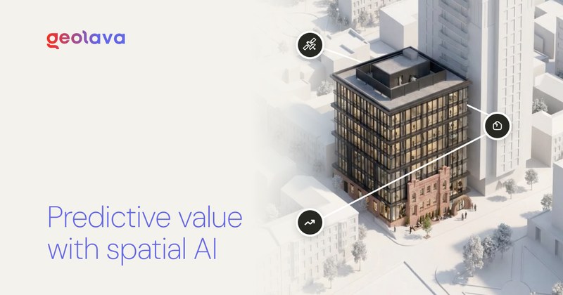
Geolava is a San Francisco startup building a world model for the built world - a spatial intelligence layer that fuses satellite, LiDAR, aerial, street-level and government data into a foundation model you can query in plain language. It lets real estate owners, investors, lenders, insurers and operators analyze, underwrite, monitor and forecast physical assets, turning slow, manual property surveying into predictive property intelligence.
Atlas AI
Atlas AI is a Palo Alto-based Public Benefit Corporation building GeoAI software that turns planetary-scale satellite imagery, ground-truth surveys, and predictive models into decision-support tools for enterprises, governments, and development institutions investing in emerging markets.

Delos Insurance Solutions
Delos Insurance Solutions is a San Francisco insurtech and managing general agent that uses satellite imagery, fire science, and machine learning to insure California homeowners in wildfire-prone areas that traditional carriers have abandoned. Founded by two aerospace engineers, Delos models wildfire risk at the individual-property level using NASA Earth-observation data, climate science, and hundreds of risk parameters, allowing it to write coverage on homes the rest of the market deems uninsurable.
NCX
NCX (Natural Capital Exchange) is a U.S.-based data-driven marketplace that pays forest landowners of all sizes for the natural capital their land provides - starting with forest carbon. Born out of the forestry analytics company SilviaTerra, NCX uses satellites, cloud computing, and machine learning to measure every acre of America's forests, then connects landowners who defer timber harvests with corporations seeking high-quality carbon credits. The company has enrolled thousands of landowners across dozens of states and raised $74.4M to expand natural capital markets.
Pano AI
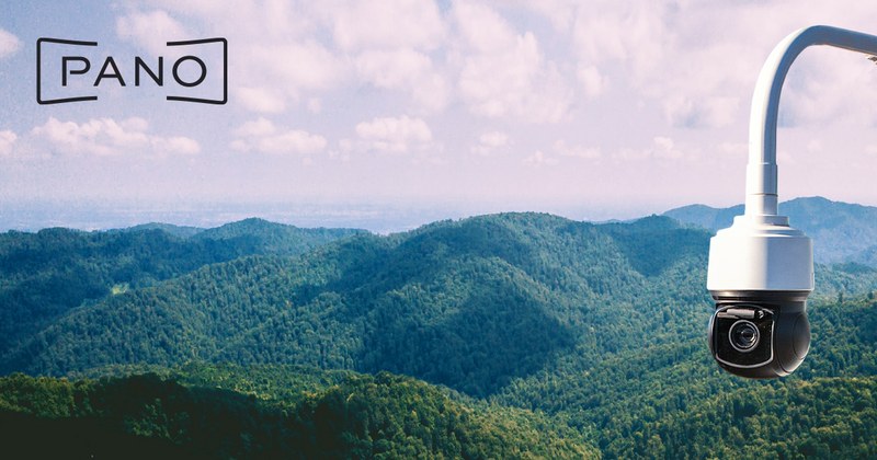
Pano AI builds an integrated platform for early wildfire detection and situational awareness, combining 360-degree ultra-high-definition mountaintop cameras, satellite feeds, field sensors and AI models to spot fires within minutes of ignition. Used by fire agencies, electric utilities, governments and private landowners, Pano monitors nearly 30 million acres across the US, Canada and Australia from its San Francisco headquarters.
Verdi
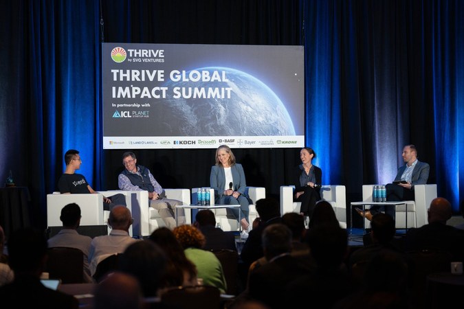
Verdi is a Vancouver-based agtech company building affordable, retrofit-ready irrigation automation systems for orchards, vineyards, and specialty crop farms. Founded in 2020 by UBC Engineering Physics graduates Arthur Chen and Roman Kozak, the company makes wireless IoT controllers and soil moisture sensors that install in minutes on existing irrigation infrastructure. Its AI-powered platform gives farmers real-time monitoring, leak detection, variable rate irrigation, and fertigation control from a mobile app - delivering documented results of up to 70% water savings, 90% labor reduction, and 10-20% yield increases. Backed by $9.5M total funding including a $6.5M CAD seed round in May 2025, Verdi counts E&J Gallo, Arterra Wines, and UC Davis among its customers, with 16,000+ acres automated across North America.