At four o'clock on a Friday afternoon in February 2015, Steve Zeets was doing a particularly modern kind of waiting. He refreshed a federal website. The Iowa land surveyor had petitioned the Federal Aviation Administration for permission to use unmanned aircraft commercially, and he was checking Regulations.gov for movement. Instead of an update on his own case, he found an economic analysis that appeared to preview the agency's proposed rules for small drones.
Then the file disappeared. Zeets still had it open. He called a colleague, confirmed that it was no longer visible, and saved a copy. Within hours, his find had become an aviation-policy story. “I was just floored when I read the document because it was sensible rules like everybody had been wanting,” he said at the time. The accidental scoop was a lucky moment, but it belonged to a person who knew exactly which bureaucratic page to watch.
Five weeks later, the FAA granted Steven Zeets Exemption No. 11228. It allowed aerial data collection with a specified group of aircraft, under conditions that included a 400-foot ceiling, visual line of sight and a visual observer. The authorization covered work for government, agriculture, utilities, infrastructure, scientific studies, wildlife monitoring, mining, surveying and forestry. The list reads like a catalogue of practical reasons to see the ground differently.
The useful view starts at boot height
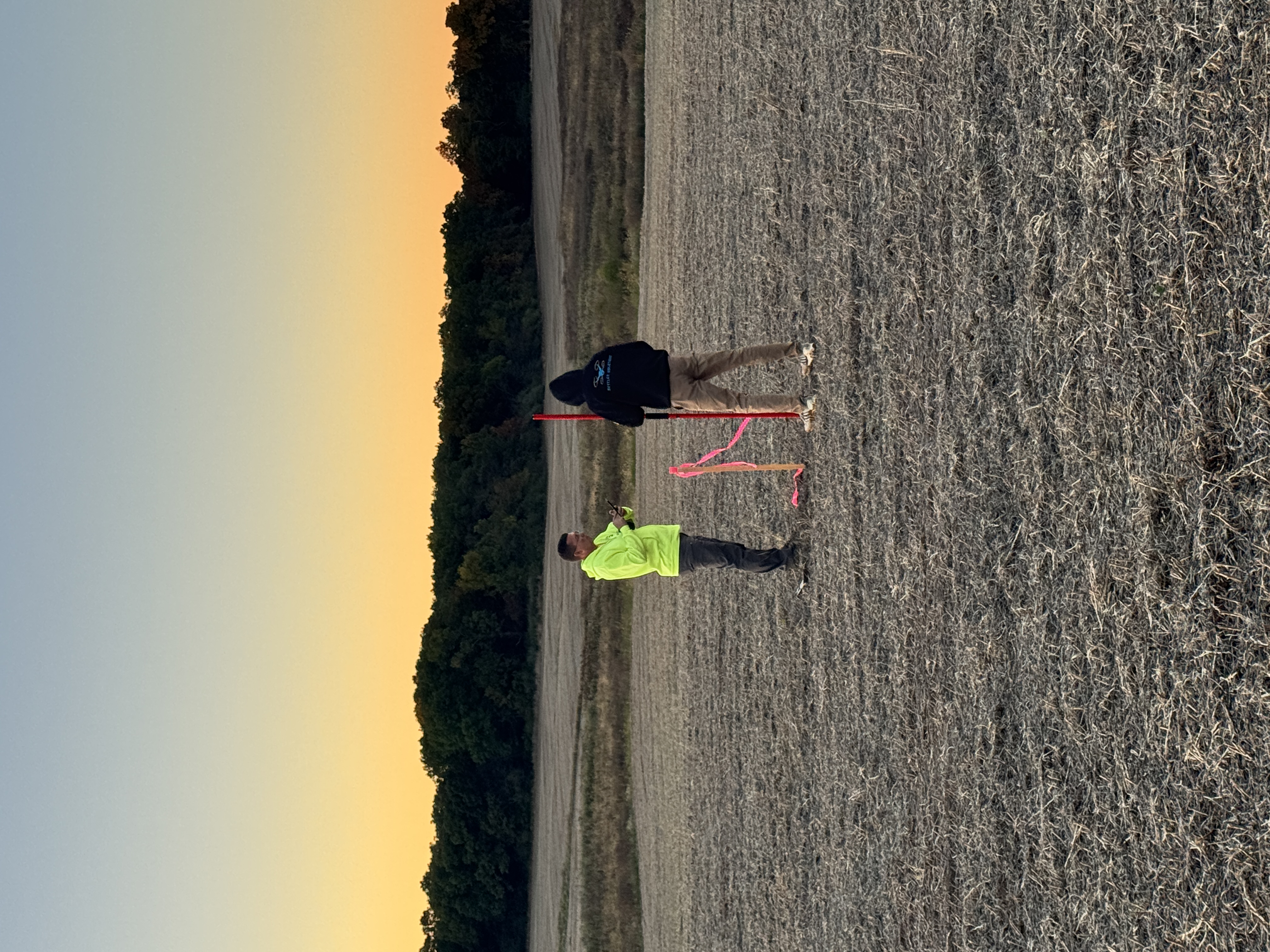
Zeets did not arrive at aerial mapping through consumer electronics. His conference biography starts him on the ground, after college, as a rodman on a three-person survey crew. The rodman occupies an entry-level square of the surveying chessboard: carrying equipment, holding the target, setting points, clearing lines and learning how quickly a tidy plan meets untidy terrain. It is a fine education in consequences.
He attended Hawkeye Community College from 1994 to 1996, then built experience across surveying, GIS, IT and photogrammetry. Iowa issued his professional land surveyor credential in 2007. By 2011 he was using drones for survey work, years before a camera aircraft became a familiar construction-site accessory. In 2014, he co-founded Terraplane in Cedar Rapids to provide aerial mapping services using small unmanned aircraft, remote sensing and photogrammetry.
The order matters. First came the profession, its control points and tolerances. The aircraft came later. A drone can gather a beautiful pile of pixels. A surveyor is professionally interested in whether those pixels agree with the monuments, coordinates and checks that remain after the propellers stop.
“I can't wait to share more of our results as we progress.”Steve Zeets, during public GNSS testing in 2016
A public laboratory, measured in millimetres
In June 2016, Zeets posted a test of an Emlid Reach GNSS receiver to the company's community forum. The account is appealingly specific. He identified a known survey monument, noted its published accuracy, described two 20-minute observations, named the RTKPOST software and admitted that the plumb-bob and retractable-tape setup was improvised because the team was eager to begin.
He did not drop a triumphant chart and vanish. He returned to answer questions about ephemeris data, base stations, camera sensors, ground-control points and baselines. He reported later tests, distinguished vertical from horizontal performance and advised another user that accurate vertical work calls for a short baseline. Someone on the forum said his posts were informative. The reason is visible in the archive: he included enough method to make the result discussable.
The details were not always flattering to the dream of effortless flight. Zeets wrote that his team used custom-built aircraft and APS-C or full-frame camera sensors, explaining that smaller cameras suited agriculture or lower-accuracy collection better than demanding survey work. In another exchange, he reported roughly three-centimetre vertical results without ground-control points, while horizontal results were nearer fifteen centimetres. Later he told a user that five centimetres on check points was achievable with the Reach receiver, then immediately added conditions about baseline length and permanent points. The numbers were never allowed to travel without their luggage.
There is a distinction here that brochure photography tends to crop out. A drone is a collection platform. Accuracy belongs to the whole system: camera geometry, flight plan, satellite observations, control, processing and independent checks. If any one piece becomes an article of faith, the final surface may look convincing while being wrong in a very orderly way. Zeets's forum replies repeatedly dragged the conversation back from possibility to procedure.
The accuracy chain / no single magic button
That pattern, test and check and explain, eventually became a business proposition. Terraplane spent years flying commercial surveys in the Midwest. Its customers began asking whether they could buy the system and processing method rather than buy another isolated flight. Whirrx, founded in 2018, was the answer.
The early selling looked less like a launch party than a county meeting. In 2018, minutes from the Jones County Board of Supervisors record Zeets presenting a proposal for aerial drone equipment and topographical surveying software to the board, engineer and assistant engineer. This was the market in miniature: public officials around a table, a new aircraft outside the familiar procurement catalogue, and a licensed surveyor explaining why its measurements belonged in serious work.
The product is what survives the handoff
Whirrx is pronounced “works,” a name with the cheerful burden of having to prove itself in every sentence. The company describes its offer as a standardized drone system paired with cloud processing and training for surveyors. The emphasis is not on owning an airborne camera. It is on producing a survey deliverable with ground-verifiable accuracy.
This is the practical founder insight in Zeets's story. Survey firms do not need more impressive files. They need surfaces, contours, orthophotos, classified point clouds and feature-coded data that fit the software and procedures already used by engineering teams. The successful handoff might be a LandXML surface that opens in CAD, not the enormous point cloud that made it possible.
In one recent project, SkyFleet Solutions said it began with more than half a billion points. Working with Whirrx, the team classified, thinned and feature-coded the data until the client had 1.5 million relevant points. The reduction is almost comic in scale. It is also a clear statement of value: abundance is easy to collect; judgment makes it usable.
Another project makes the clock visible. SkyFleet reported collecting 190 acres in a few hours, processing the observations with Whirrx and returning a LandXML surface within 48 hours. The large point clouds and orthophotos could be shared online through Stitch3D, while the manageable surface went directly into CAD. This is what efficiency looks like after the novelty wears off: fewer return trips, a file shaped for the next person's tool, and no ceremony required to begin designing.
Bridges, classrooms and the long chain of trust
Zeets has repeatedly taken the method into rooms full of fellow surveyors. At the Minnesota Society of Professional Surveyors meeting in 2019, he presented “How to Ensure Accuracy in Your Drone Survey.” In Wisconsin in 2020, his Drones A-Z sessions moved from accurate field work through FAA rules, airspace, insurance and the problem of integrating drones into a company. The curriculum treated a drone less like a gadget than a new crew member with a large compliance folder.
In 2021, he and Michael Frecks presented on UAV acquisition for the Buck O'Neil Bridge realignment in Kansas City. The project involved obscured and complicated areas around rail, highway and airport corridors, combining drone LiDAR, photogrammetry, mobile and terrestrial LiDAR, handheld systems and conventional boots-on-the-ground survey. The point was not to crown one sensor. It was to assemble enough complementary evidence for a design-build job where the public would eventually drive across the answer.
Today, SkyFleet lists Zeets as a licensed land surveyor and its Processing & QA/QC Lead. Whirrx remains active as its processing partner and sister company. The title puts the emphasis in the right place. Processing is where raw observations become a model. Quality assurance and quality control are where a professional decides whether the model deserves to be used.
His path from rodman to remote pilot has a pleasing loop to it. The view rose hundreds of feet, the files grew to hundreds of millions of points, and the final authority still belongs to what can be checked on the ground. The aircraft changed the reach of a survey crew. It did not repeal gravity, geometry or skepticism.
The future arrived with propellers. Zeets made it bring check points.
There is a modest philosophy hiding inside all that equipment. A useful technology should meet a profession where it works: in its standards, its deliverables and its obligations. Zeets's career has been spent closing those last few feet between an elegant aerial view and a number someone can sign, design from and build upon. For a surveyor, the sky is not an escape from the ground. It is simply another place to measure it.