A map pin is a very small promise. It says a place exists, it is here, and the facts attached to it can be trusted. The promise looks effortless on a screen. Behind it sits a peculiar civic bureaucracy of websites, photographs, directories, parcel boundaries, opening hours, road geometry, and human memory. Restaurants close between database refreshes. A mall has five doors, though only two matter to a delivery driver. One record calls a business a grocer; another insists it is a pharmacy with unusually good vegetables.
Lukas Martinelli has made a career in that gap between the clean pin and the unruly world. He is the co-founder and CEO of Reprompt, a San Francisco startup that builds AI agents for location data. Before that, he spent seven years running engineering, product, and operations for Mapbox Search. Before that, he built open-source tools that made maps and spatial databases less aggravating for developers. His résumé reads less like a sequence of reinventions than a long argument with geographic mess.
Reprompt's present pitch is precise: its agents read the web, documents, images, and geospatial signals to research and update information about physical places. Mapping companies including Radar and TomTom use the system, according to Reprompt's Y Combinator profile. Foursquare has worked with the company on an agent that contributes to its Places Engine. The grand mission on Reprompt's own site is an accurate digital replica of Earth. The daily work, as grand missions often discover, involves a great many storefronts.
An apprenticeship in useful things
Martinelli's route into technology began with vocational training, not a founder fellowship. From 2009 to 2013, he apprenticed at Online Consulting in Switzerland while earning a Federal VET Diploma in information technology. He worked on customer web applications, product-information software, and automated print systems. The arrangement put production responsibility next to education. It is difficult to romanticize a broken catalog generator when somebody expects the catalog by Tuesday.
He added a technical vocational baccalaureate, writing a thesis on heuristic approaches to the traveling salesman problem and building a Google Maps visualization. Later came a computer science degree at Hochschule für Technik Rapperswil, completed in 2016 with an A grade, according to his public CV. During those years, he also worked part time at Swisscom and Dreipol, completed military service in Switzerland's Cyber Network Operations division, and briefly joined Device Tools to work on a Kubernetes-based microservice platform in Go.
The collection of languages and platforms is broad - Python, Go, JavaScript, Haskell, PostgreSQL, PostGIS, OpenStreetMap, cloud infrastructure - but the recurring taste is narrower. Martinelli likes tools that turn an irritating technical chore into a tractable one. Pgfutter imports CSV and JSON into PostgreSQL without ceremony. Maputnik gives developers and designers a visual editor for map styles. His bachelor project, OSM2VectorTiles, helped turn OpenStreetMap data into vector tiles for modern maps.
“I love contributing to Open Source projects and I love the collaboration and community around it.”Lukas Martinelli, personal project archive
There is even a miniature travelogue among the repositories. For a bicycle journey from Switzerland to Greece, Martinelli hacked together a Django application in a day so friends and family could follow his GPX tracks and live updates. It is charming because it contains the whole operating philosophy in pocket form: there is a real movement through the world, some awkward geographic data, an audience that wants clarity, and a tool built quickly enough to be useful.
Seven years inside search
At Mapbox, Martinelli moved from builder to operator without leaving the map. He led the Search business as General Manager and Engineering Director, spanning engineering, product, and operations. His public CV says he helped lead Map Data, Search, and Navigation SDK products; Y Combinator's profile adds that he led a 120-person labeling and evaluation team. Search at that scale serves developers, but it is ultimately judged by the ordinary person who types a place and expects the right answer.
That work teaches a sobering fact: a location database is never finished. Roads change slowly enough to tempt confidence. Businesses do not. They open, rename, move, split, merge, and vanish. Their websites disagree with directories. Their hours change for holidays and then never change back. The difficult work is not merely collecting records. It is resolving identities, detecting change, and deciding which evidence deserves belief.
Martinelli's public commentary is unusually direct about the economics. When Foursquare opened its place dataset, he argued that basic point-of-interest data was becoming a commodity. His excitement did not mean quality had stopped mattering. It meant the defensible work was moving toward maintenance, verification, collaboration, and richer attributes. If the raw list becomes easier to obtain, the advantage belongs to whoever can make it current and useful.
The startup found its map
Martinelli co-founded Reprompt with Rob Balian, whose background includes product work at Facebook and leading growth at Robinhood. The company entered Y Combinator's Winter 2024 batch. Its first public launch focused broadly on helping teams debug and improve AI applications. The underlying observation was sensible: production systems need traces, overrides, evaluations, and operational controls, not simply a clever prompt.
Reprompt then sharpened around the domain Martinelli knew best. Today its products investigate locations and enrich place records. The pivot feels less like abandoning an idea than adding a map to it. Evaluation, human review, multimodal evidence, and edge-case handling are precisely what place data demands. General AI infrastructure became a vertical research system with doors, parcels, storefronts, and coordinates.
Read public web pages, documents, imagery, and existing location records.
Attach evidence to coordinates, buildings, parcels, roads, and points of interest.
Cross-check sources for conflicts, duplication, change, and missing attributes.
Return structured findings with reasons that people and systems can review.
One public demonstration makes the approach wonderfully concrete. Reprompt looked for mall entrances by extracting candidates from aerial imagery, laying buildings and roads over the image, and then using vision systems to validate likely doors. A canopy, walkway, nearby parking area, or pedestrian connection becomes evidence. Martinelli reported 95 percent precision in the company's sampling and suggested mobile GPS traces as an additional verification layer.
This is an appealing test for AI because the answer cannot be conjured by eloquence. The door is there or it is not. The delivery route improves or it does not. Maps punish fluent nonsense with missed turns. In a field awash with demonstrations that end when the applause starts, location work must survive contact with curbs.
“AI changes the game for location data.”Lukas Martinelli, on the shift from static collection to automated research
The discipline behind the agent
Martinelli's public talks return to quality. In one review of production AI architectures, he urged teams to tag documents properly, extract tables, convert images into text, and improve their indexed data before expecting retrieval systems to perform miracles. He also co-authored research testing multimodal models on charts in slide decks. The findings were cautionary: systems that look capable can still confuse digits, signs, and visual relationships.
That skepticism gives Reprompt's mission its useful tension. The company is ambitious about agents while remaining occupied with evaluation. Its systems combine modes because no single source can describe a place completely. A website knows the hours. An aerial image knows the roof. A street-level photograph may know the sign. A road layer knows access. A human still knows when the result feels absurd.
In 2025, Reprompt announced an integration that brought its Scout model into Esri ArcGIS workflows. The examples were deliberately practical: digitize a parcel boundary from imagery, research an attribute on the web, cross-reference it with street-side imagery, and write the update back into the GIS. By 2026, the company was describing work over more than 200 million points of interest and building deep-research tools specifically for places.
Martinelli discussed that direction in two 2026 interviews. On Project Geospatial, he demonstrated a workbook-style research product and spoke about building a database of the physical world. On Geomob, he traced the limits of manual surveys, crowdsourcing, OpenStreetMap, and Overture while explaining why AI can help with deduplication and upkeep. The aspiration is not a prettier basemap. It is a better process for knowing what is true at a coordinate.
The useful obsession
There is a founder lesson in Martinelli's lack of fashionable zigzagging. He did not arrive at geospatial AI because two exciting nouns happened to meet. He spent years with vector tiles, spatial databases, developer APIs, search operations, labeling teams, and the tedious afterlife of incorrect records. When new models arrived, he already knew where their leverage might matter and where their mistakes would hurt.
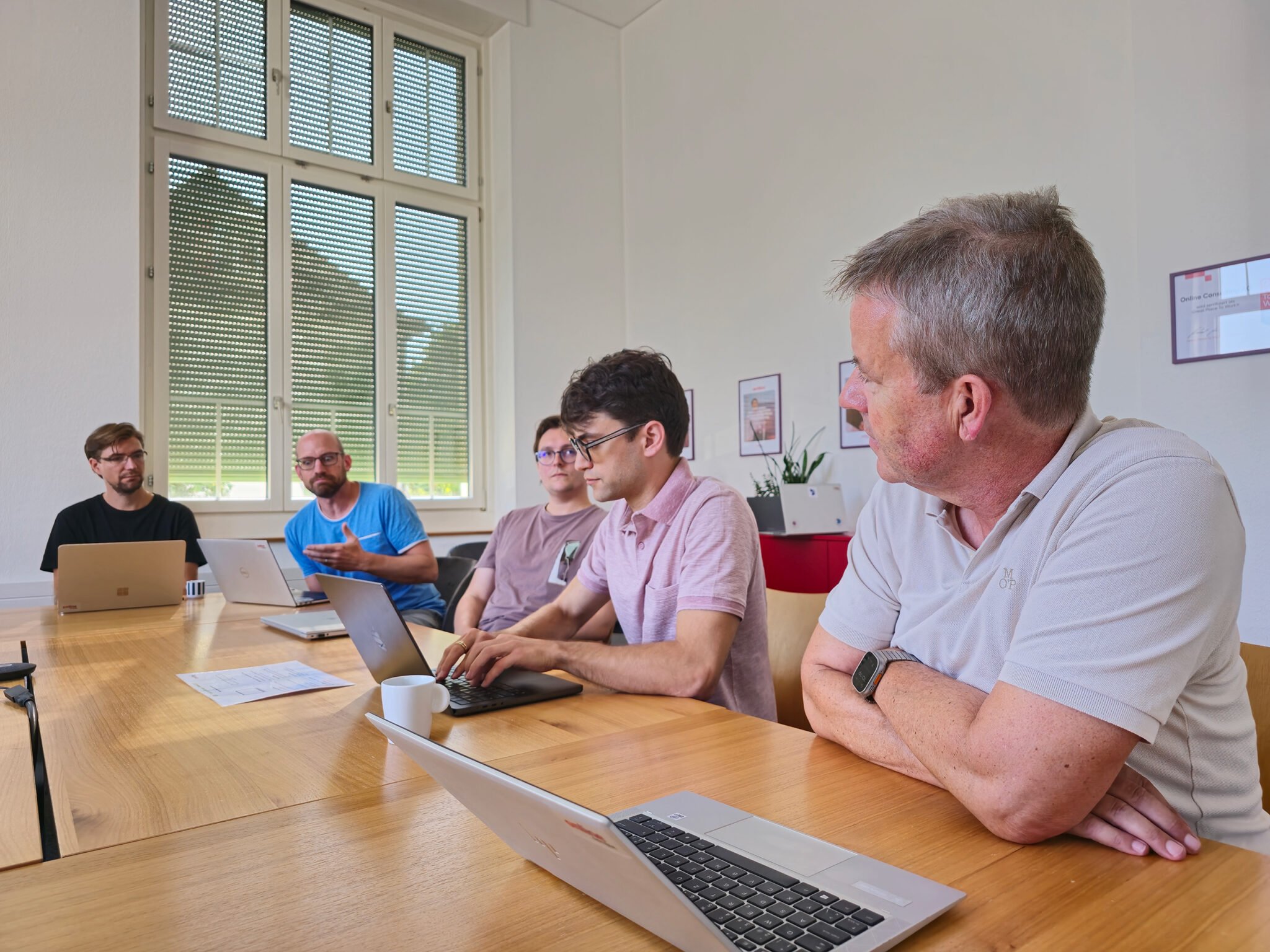
His move from Europe to Silicon Valley added another contrast. During the 2024 visit to his former apprenticeship company, he described a familiar cultural split: in the United States, sell first and build later; in Europe, build first and sell later. Martinelli's own career contains both instincts. Open-source work proves a fondness for building in public. Reprompt's customer focus shows the operator's insistence that a tool must leave the workshop and earn a place in somebody else's process.
Reprompt calls one of its values “Playful Determinism,” a phrase with enough contradiction to deserve office-wall status. It suits Martinelli's portfolio. There is play in a global noise-pollution map inspired by a city-building game, or a bicycle tracker hacked together before the trip got too far ahead. There is determination in keeping the same subject through apprenticeship, university, open source, Mapbox, and a startup.
The physical world will continue behaving badly toward databases. Shops will move. Doors will hide beneath canopies. Records will duplicate. New evidence will contradict old certainty. Martinelli's bet is that agents can do more of the patient looking - gathering clues across media, placing them in geographic context, and showing their work well enough to be checked.
A perfect digital Earth remains an aspiration, and perfection is famously difficult to schedule. But the smaller promise is already clear. Make the pin less casual. Give it evidence. Let it notice when the world has changed.